
Today the team was kicking back at base camp, playing around with the drone, and generally resting up before the next rotation. Here’s Madison Mountaineering guide, Rob Smith with his recap of the day:
This is Rob [Smith] from Everest Base Camp. We’ve all had a nice day here today. Jim arrived up the trail so that’s the team all complete! Pretty nice rest day – folks taking it easy, doing some laundry, catching a shower, and this evening we had another fine meal from Deepak and then I gave a chat to everyone on an Axel Heiberg ski trip to the South Pole which was kinda same, same, but different; pictures of snow from Antarctica. But, it was all good and looking forward to another good day tomorrow.
Bye for now!
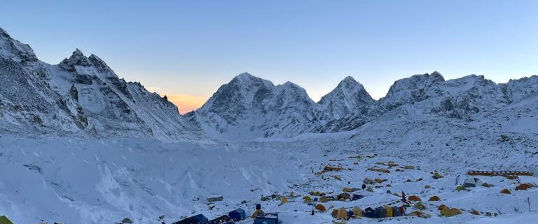
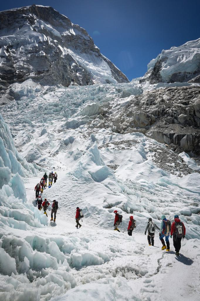
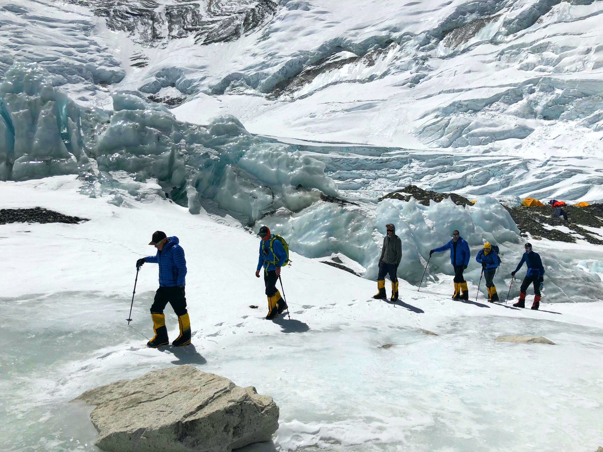
Aerial view of the 2021 Madison Mountaineering Mount Everest Base Camp
If climbing Mount Everest is in your future, please contact our office, we would love to have you climb with us!
In addition to these expedition dispatches, you can also follow our teams as they make their attempts on the world’s most formidable mountains on:
– Amazon Alexa devices with the Madison Mountaineering Flash Briefing skill:
- Enable the skill and add to your flash briefing to hear Garrett Madison’s daily audio expedition updates on select expeditions. Just say, “Alexa, play my Madison Mountaineering flash briefing.“
– Instagram:
– our Garmin inReach Mini powered real-time tracking map:


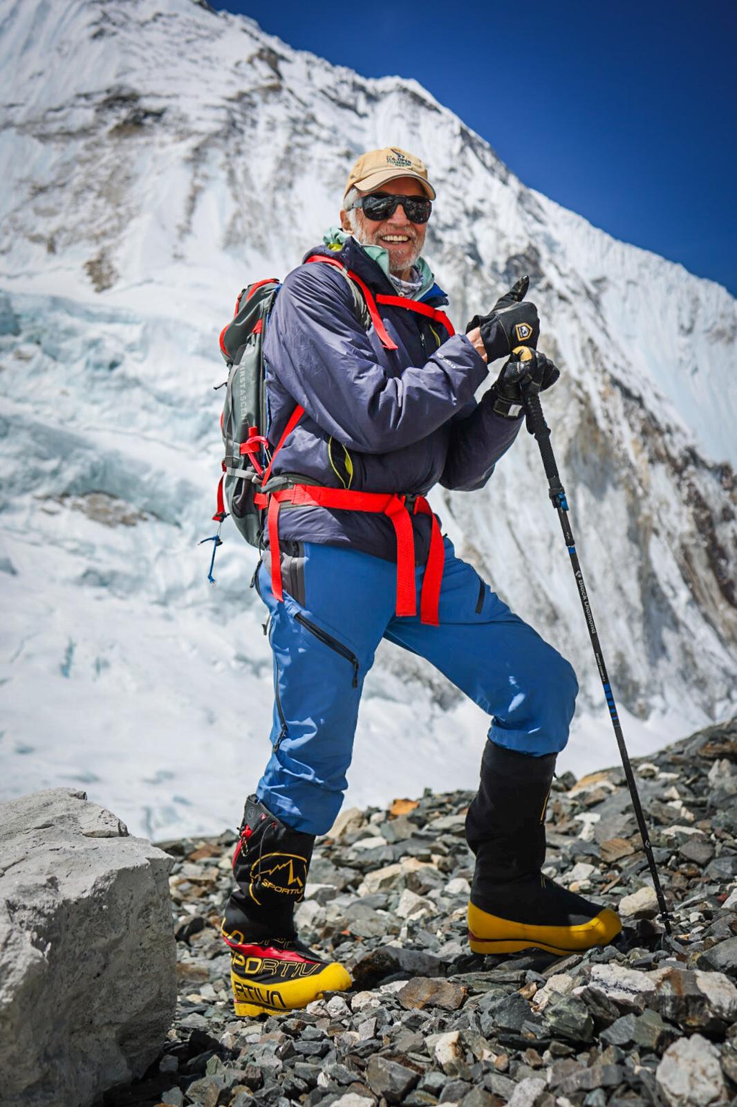
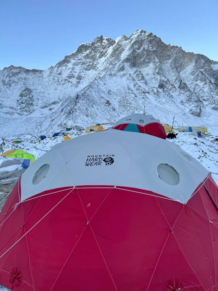
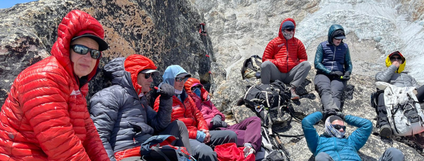

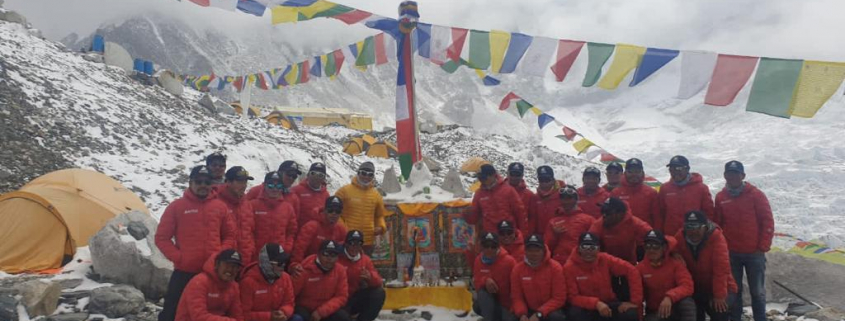
 Resting At Basecamp !