Nice end-of-season climb on Washington state’s Mt. Olympus last week. Lead guide, Terray Sylvester, provided this report:
We made the most of challenging conditions last week on Mount Olympus’ Blue Glacier Route.
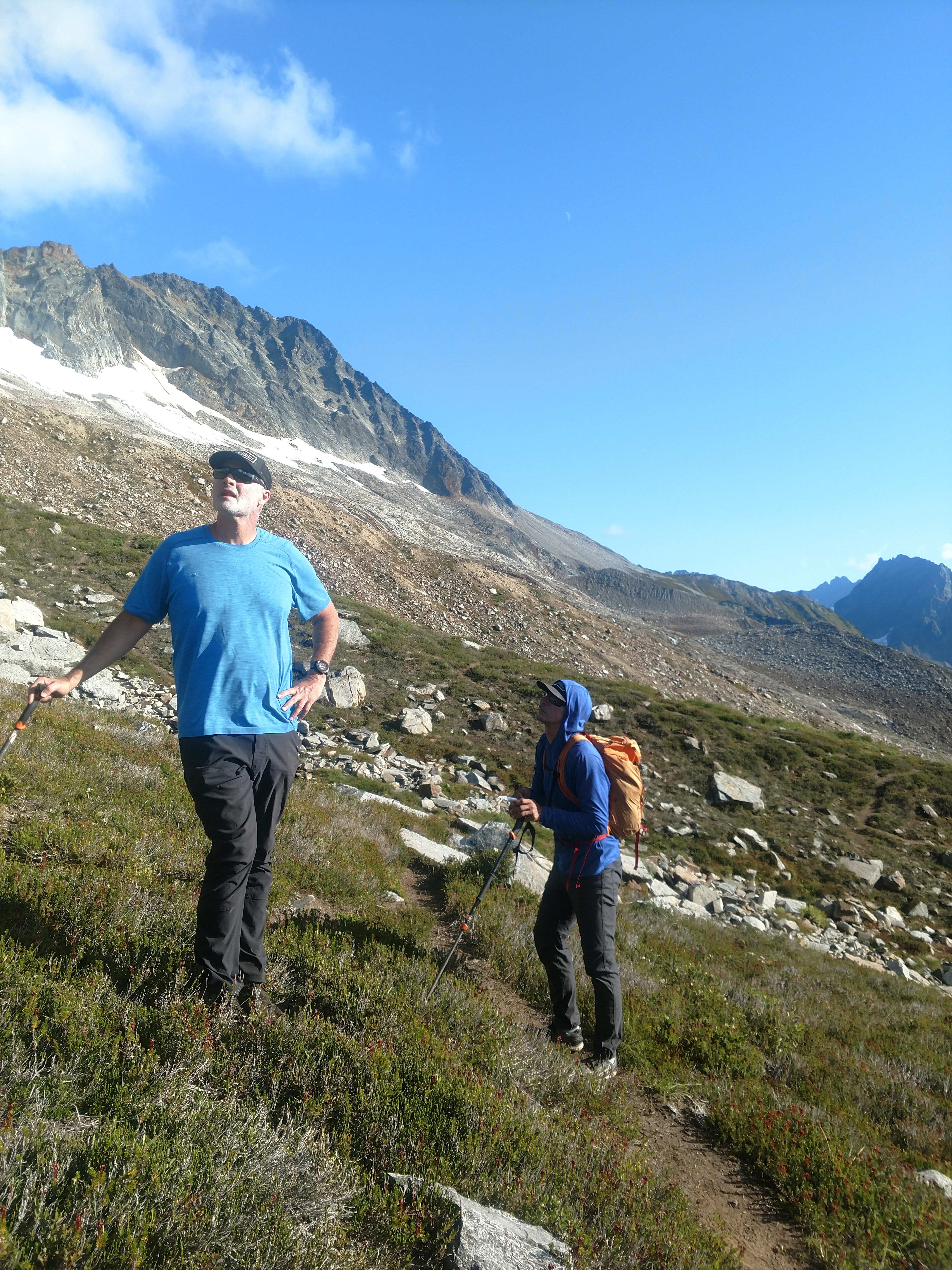
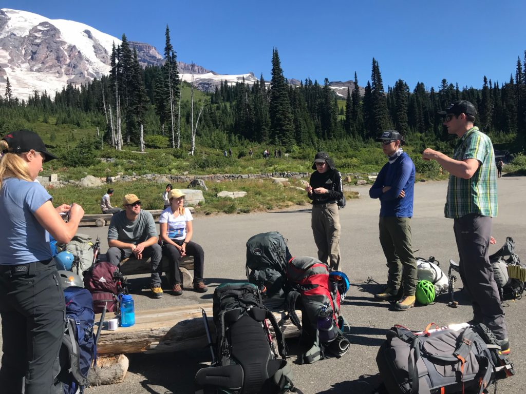
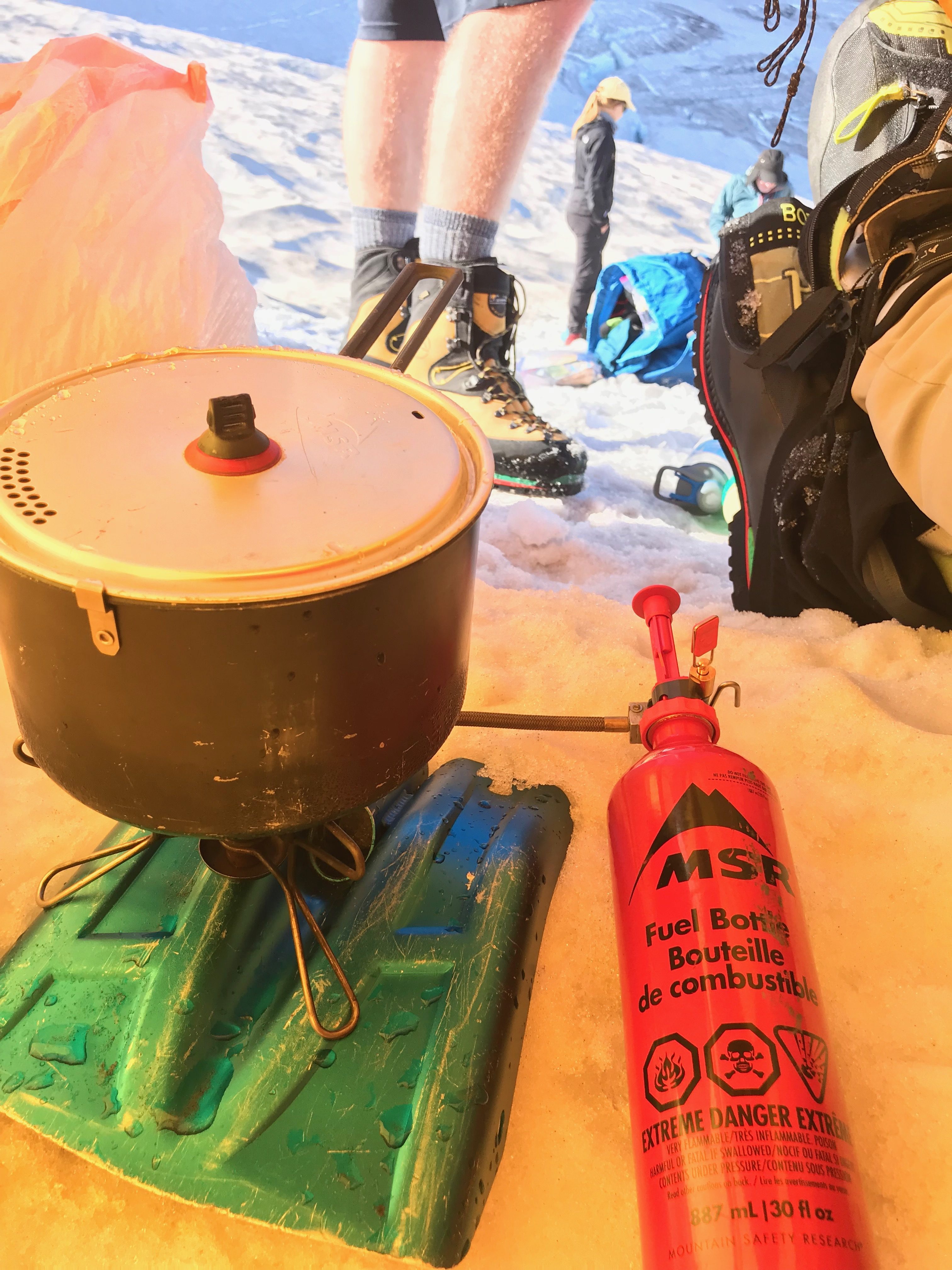
The trail to the route follows the milky Hoh River through the massive trees of the Hoh Rainforest for about 17 miles to Glacier Meadows campground, just below the foot of the Blue Glacier. It’s a uniquely beautiful approach, but since the Hoh Rainforest gets 12 to 14 feet of rain each year, it can also be a bit wet. We had rainy weather both days of our hike in, and for that, we all carried golf umbrellas. Maxfli isn’t a brand you often see on a mountaineering rack, but those umbrellas kept us dry each day until we climbed into our tents. For backcountry comfort, they were some of the most important gear we brought.
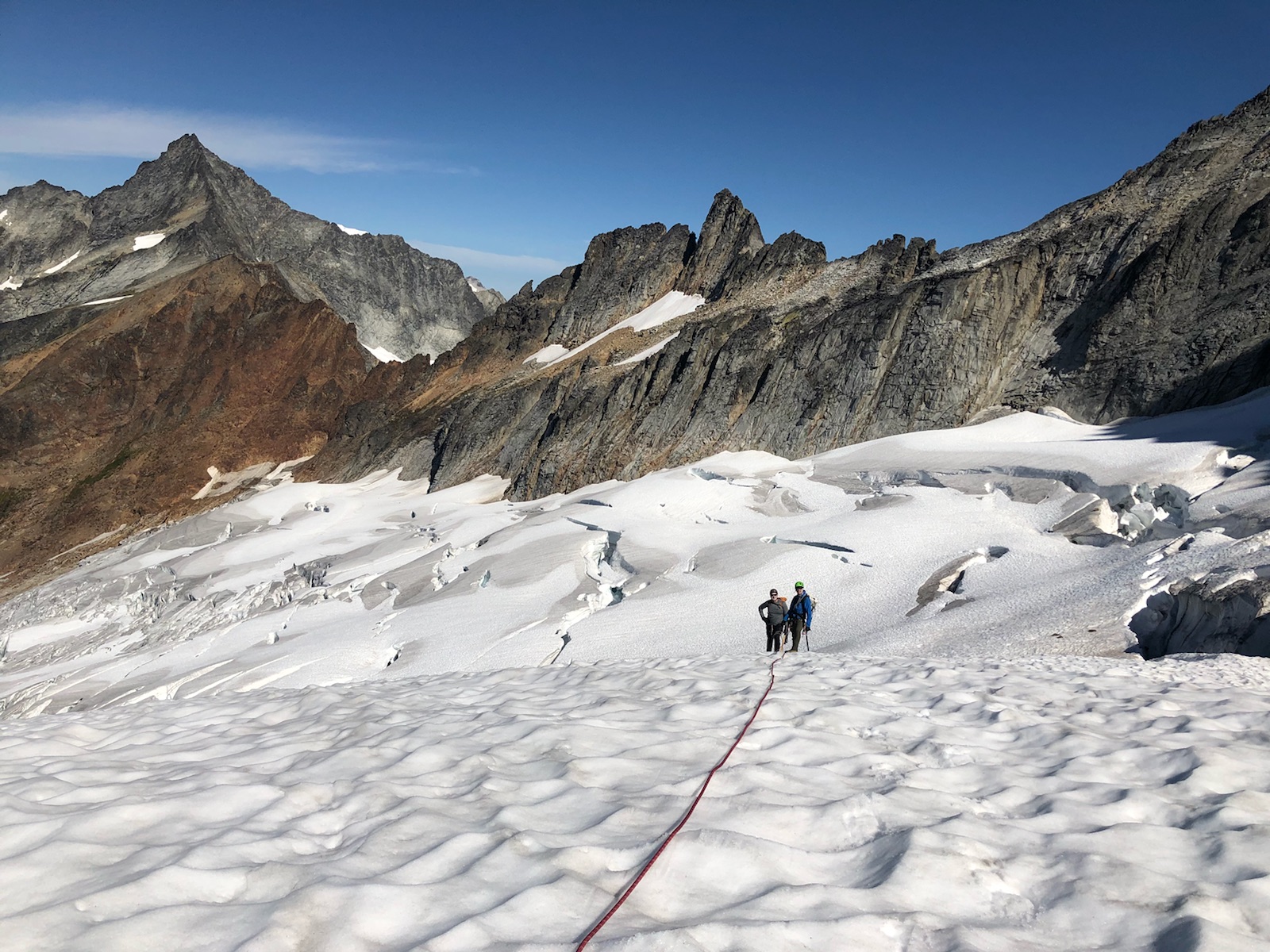
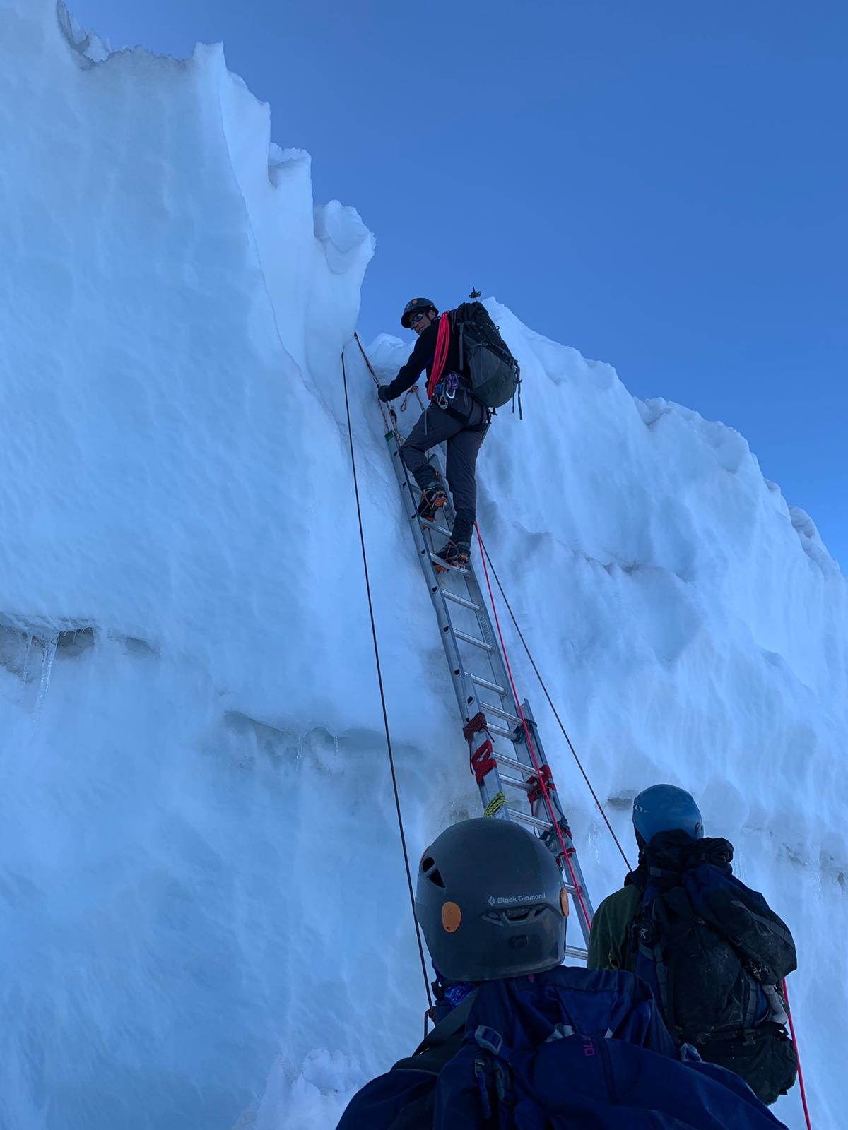
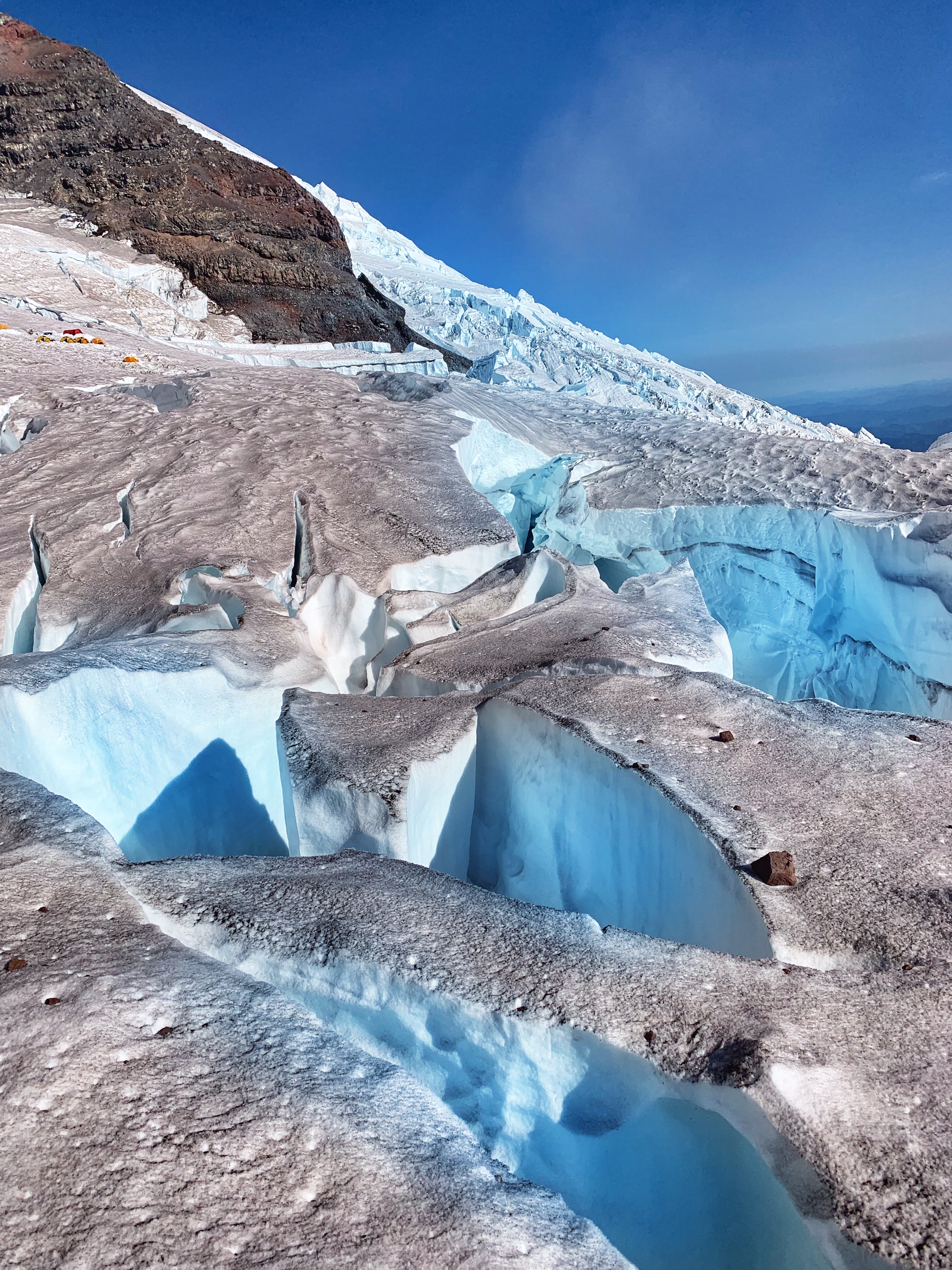
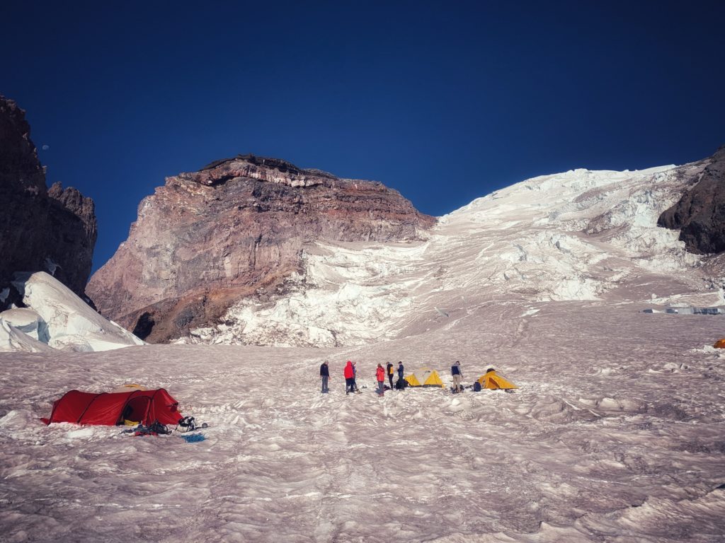
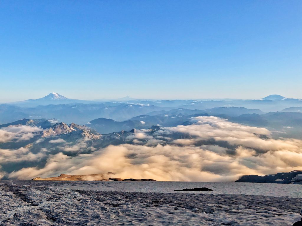
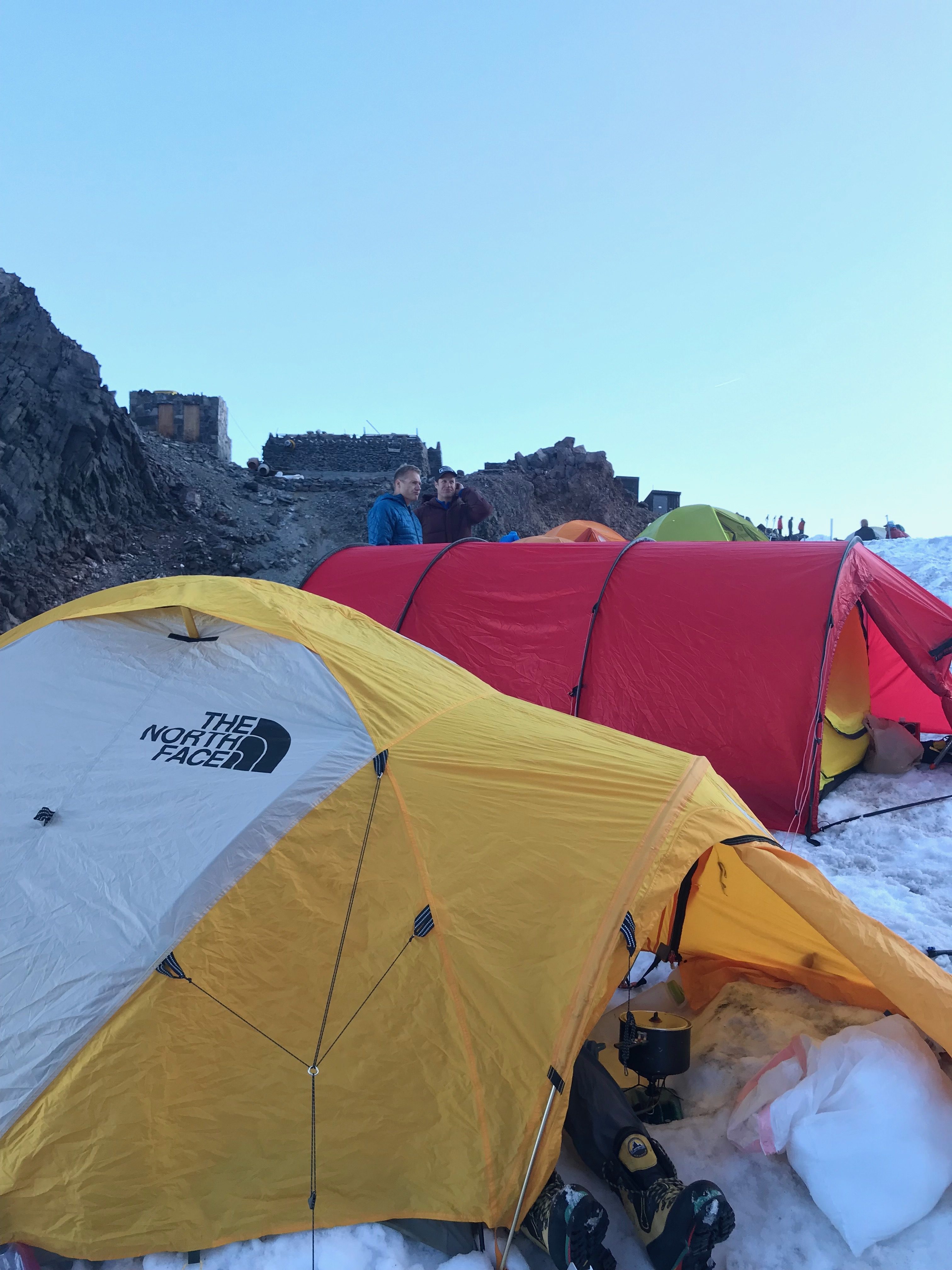
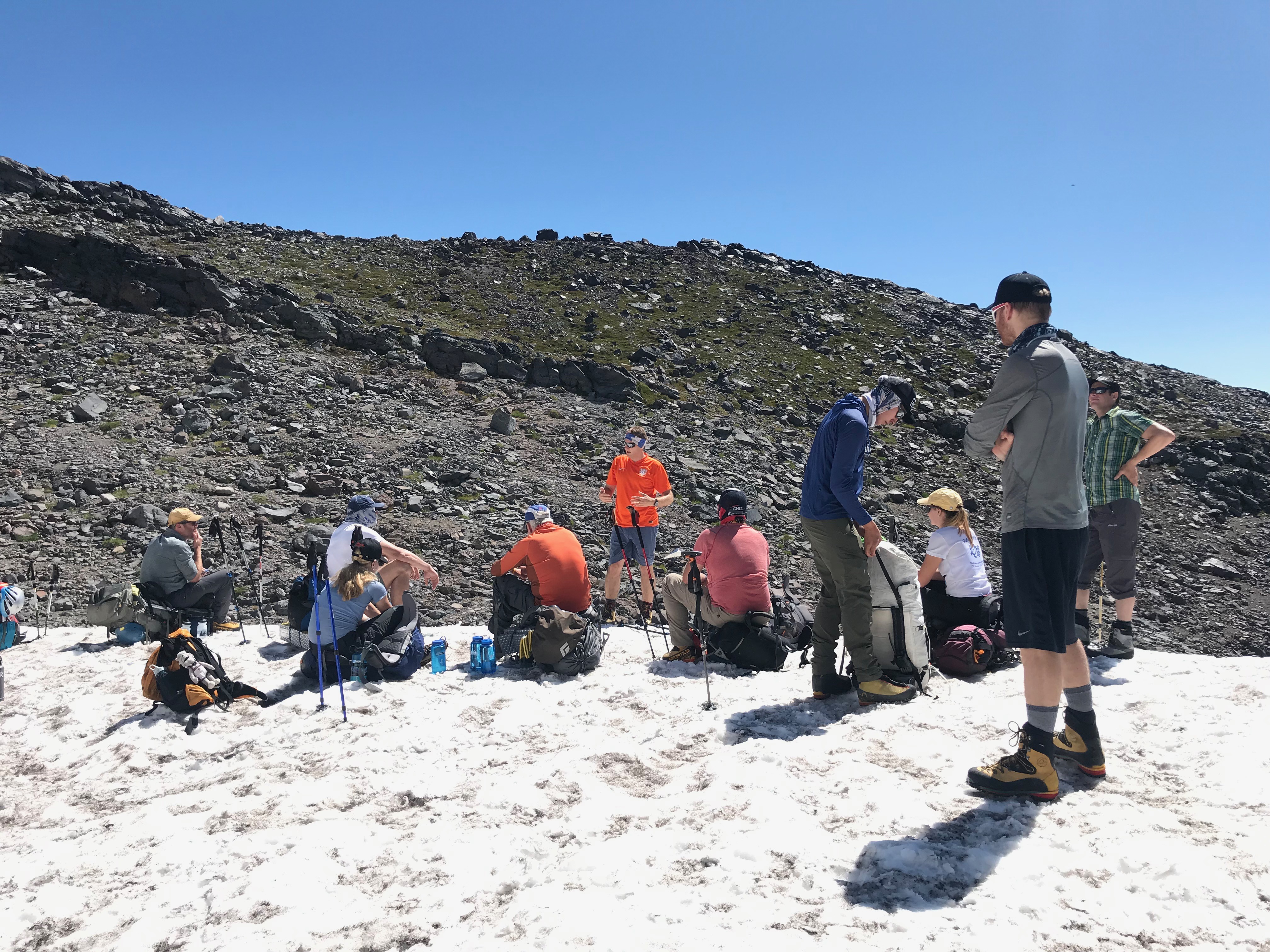
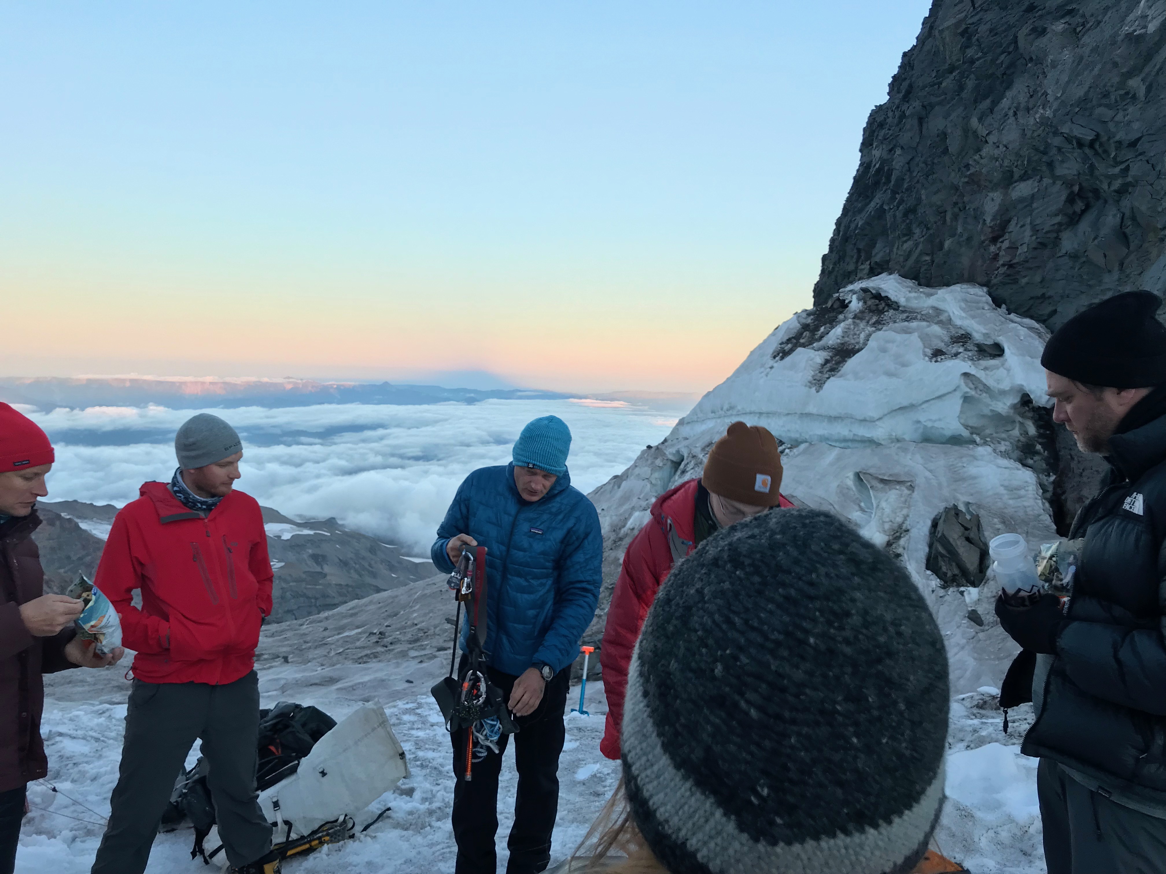
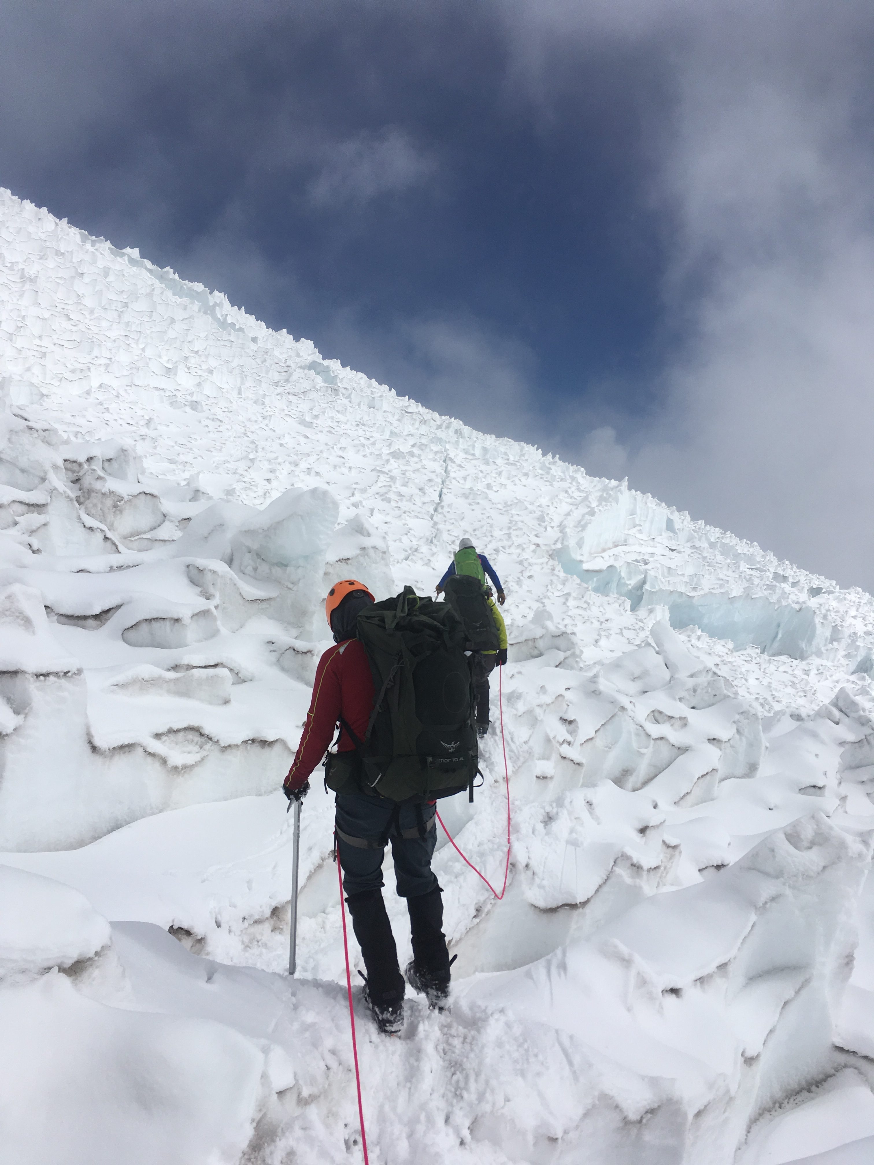
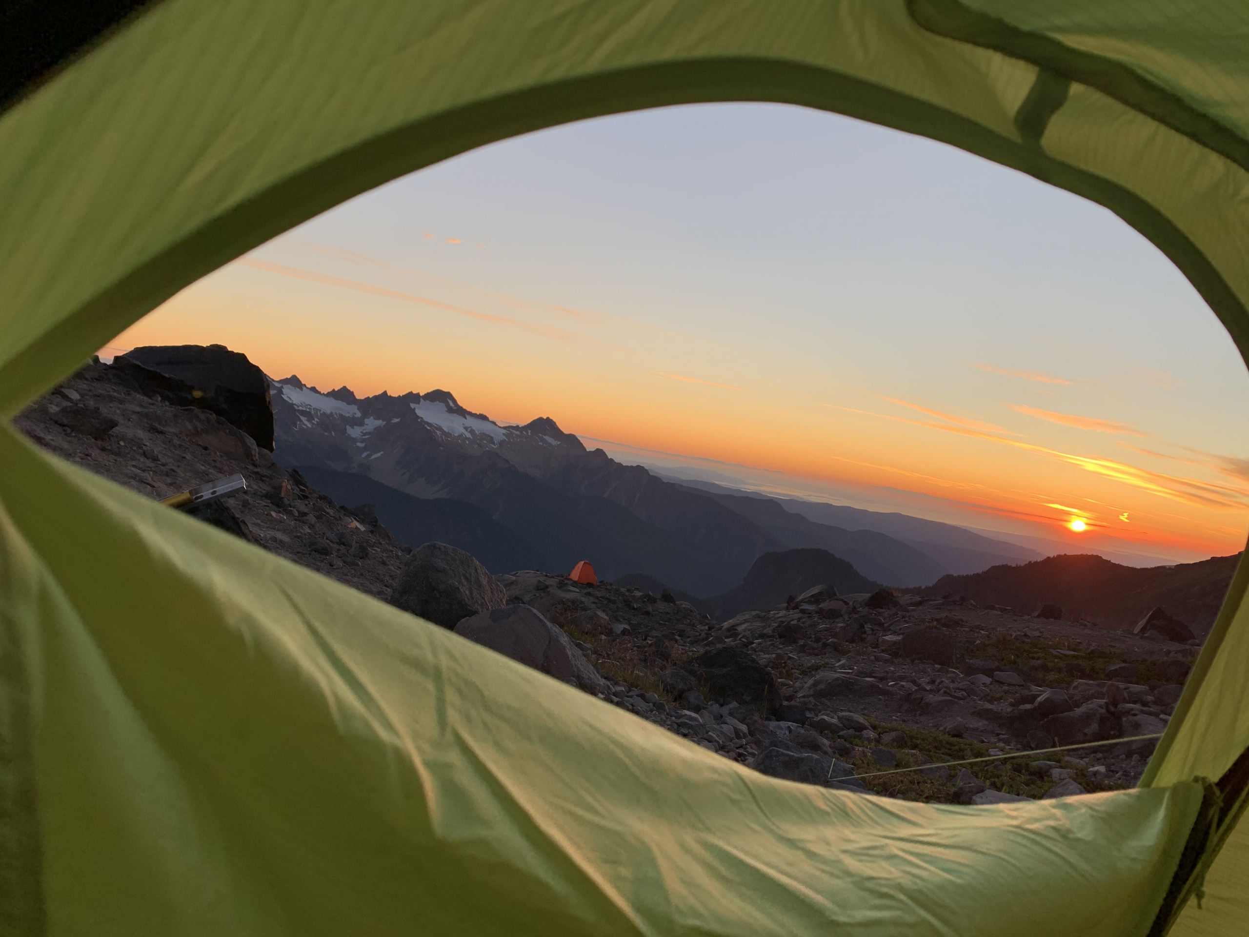
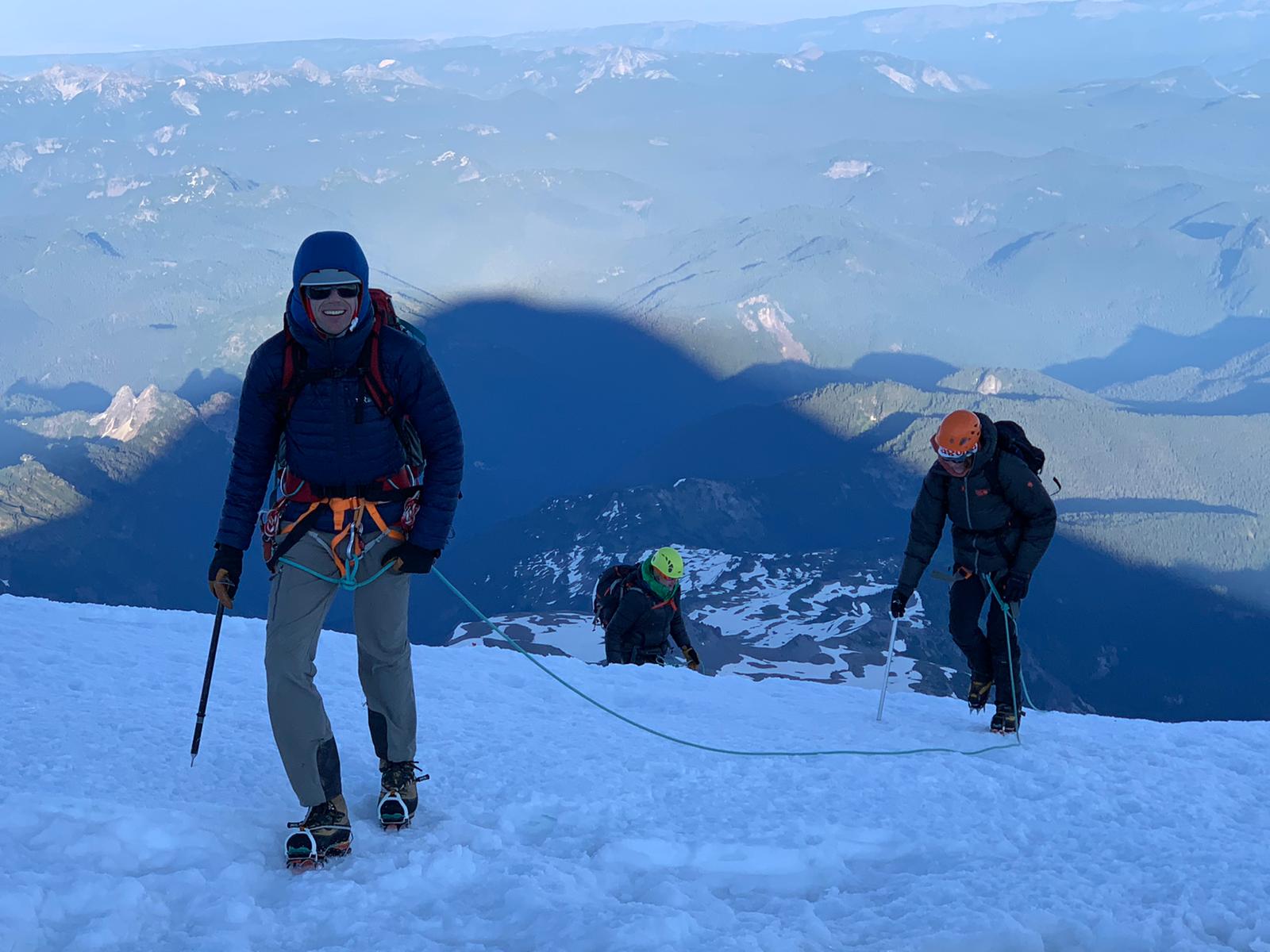
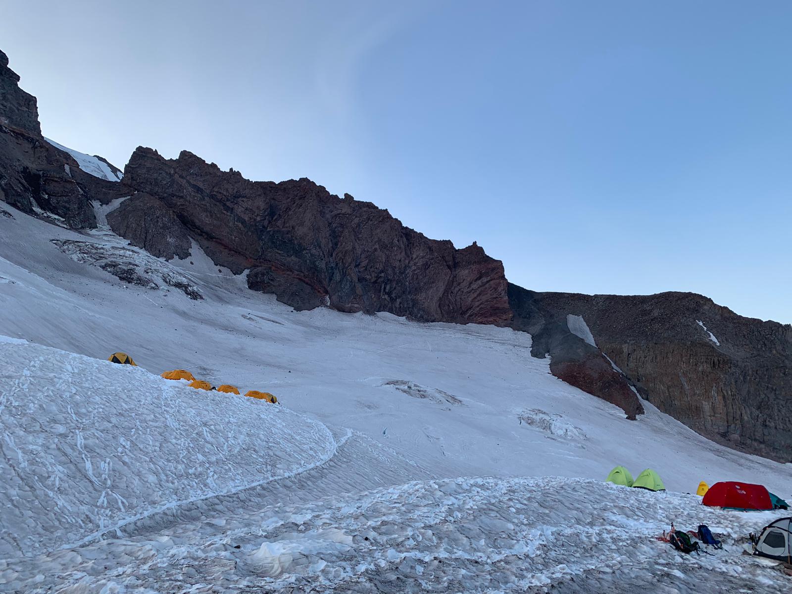
After all that rain, I was relieved to see stars in the sky when I stuck my head out of the tent at 1:30 a.m. We ate a quick breakfast of oatmeal and hot coffee, and then hiked out of camp, over the lateral moraine on the east side of the Blue Glacier and down to the glacier at about 5,000 feet of elevation. By the time the sun was up, we had crossed the lower arm of the glacier and were climbing toward the top of the Snow Dome, a plateau at about 7,000 feet. But late-season conditions were slowing our pace. Lack of snow on the lower glacier forced us to pick our way carefully across the glacier’s deep, icy furrows. Higher up, I built a series of anchors to protect the final, steep slopes near the top of the Snow Dome. Earlier in the season, those slopes would have been covered in snow and we could have simply walked up them as a rope team. But with glacier ice exposed, it was too dangerous to ascend without belaying.
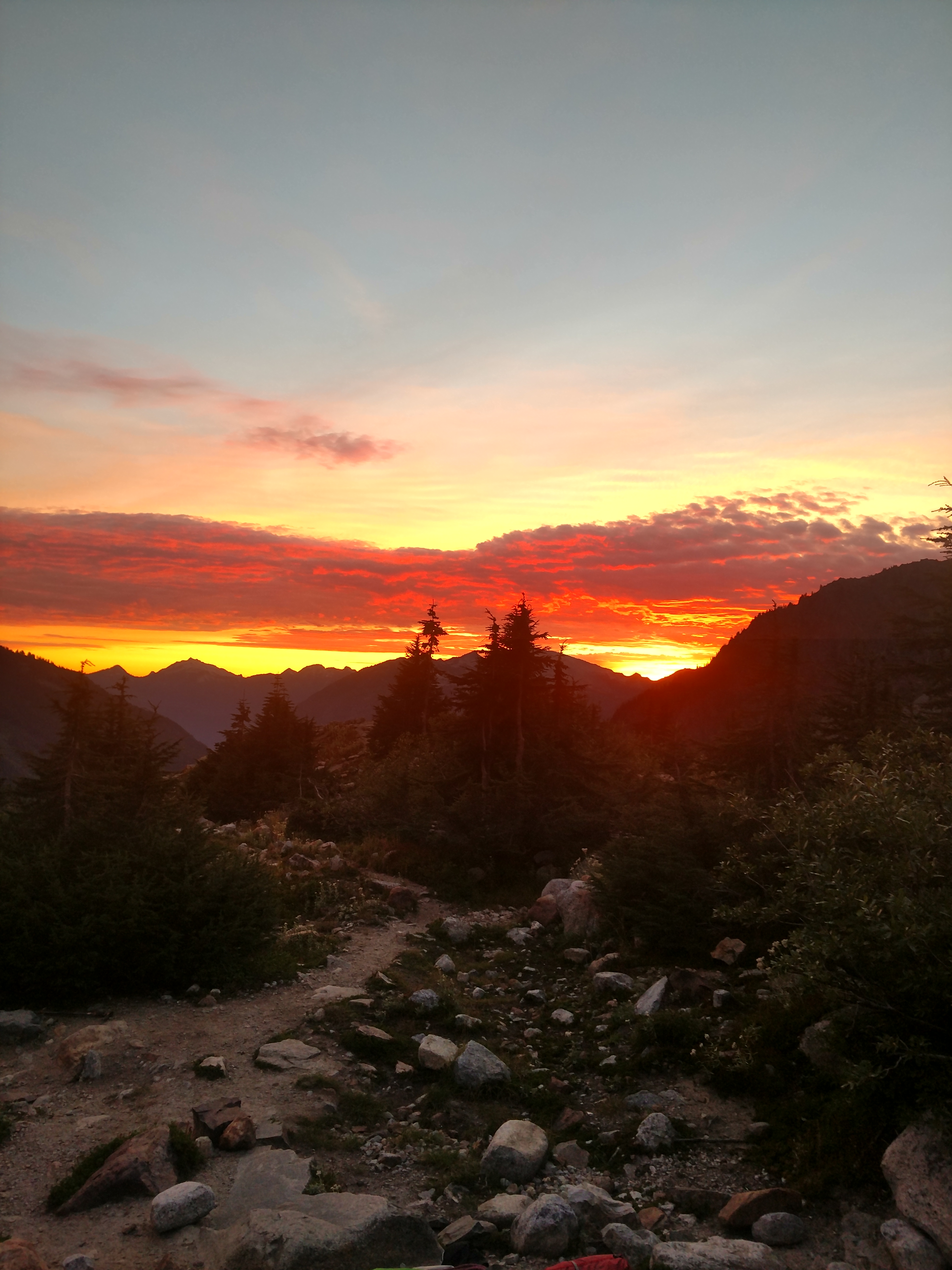
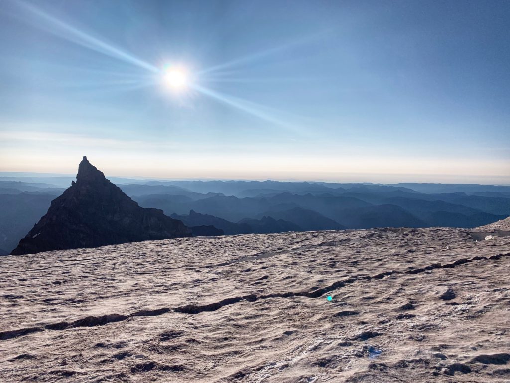
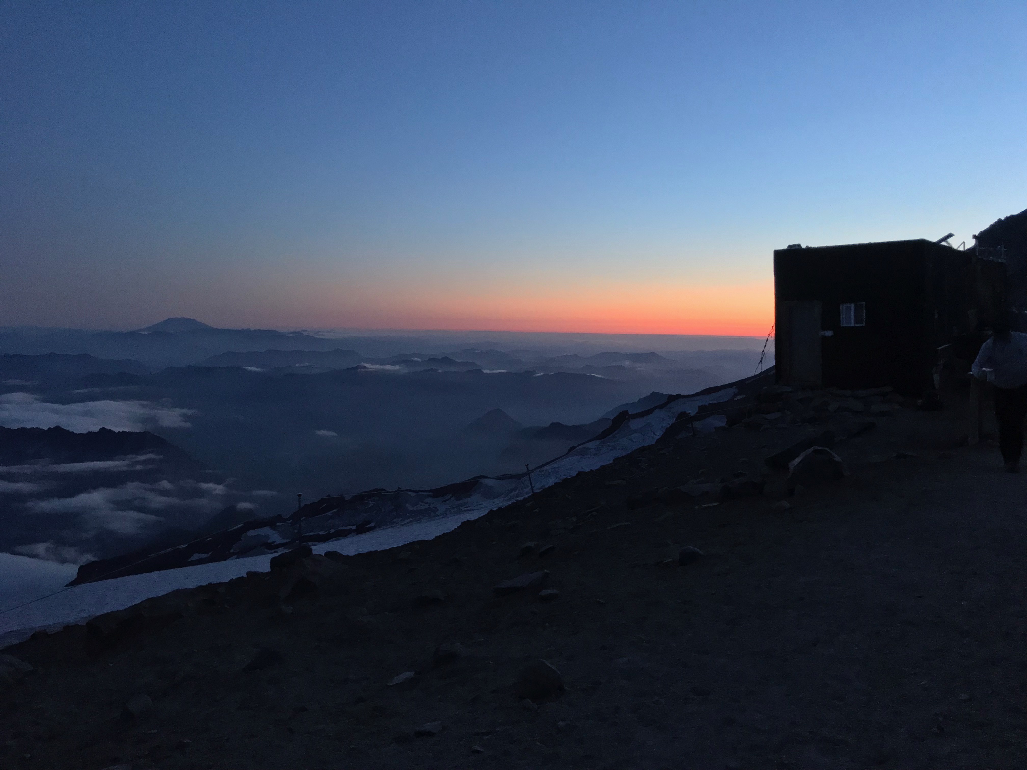
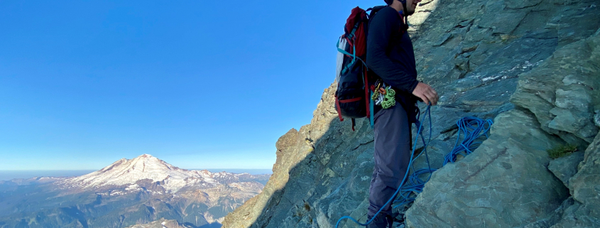
By the time we approached Crystal Pass at 7,200 feet, we were running out of time to make it to the summit. We would still have to climb and descend the final 5th class rock pitch below the summit pinnacle, but we also faced a more immediate problem – a wide bergschrund that spanned the glacier below Crystal Pass. Having climbed down into and back out of the bergschrund a week earlier, I knew we could do it safely, but I also knew it would cost us quite a bit of time. Ascending higher would have pushed us into a long summit day when nightfall and fatigue might conspire to make an accident more likely. With clouds coming in, we returned to camp, taking off our packs at our tents just before dusk.
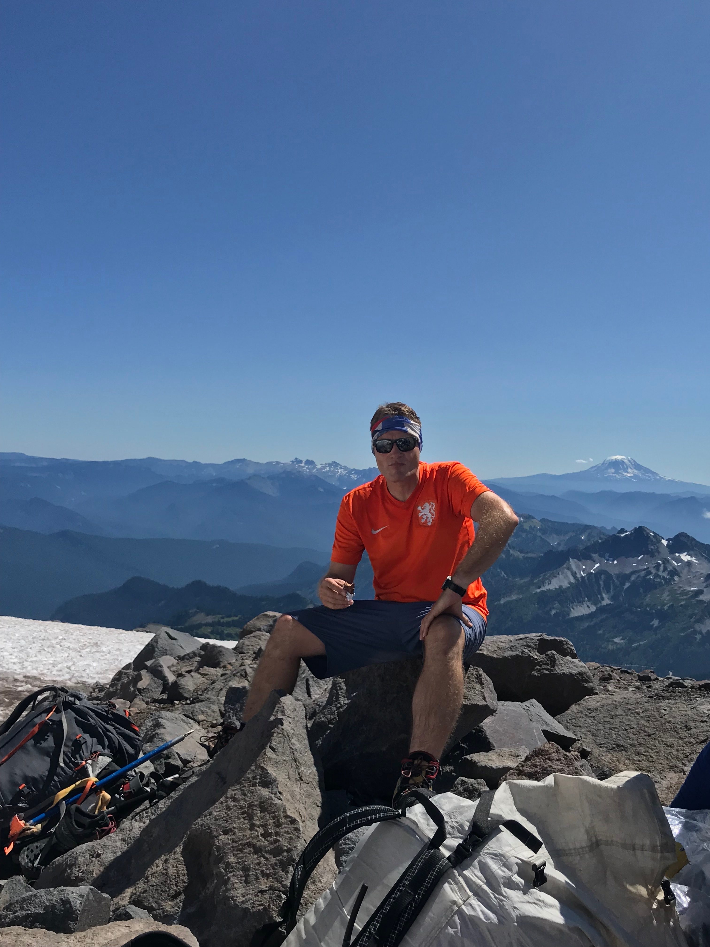
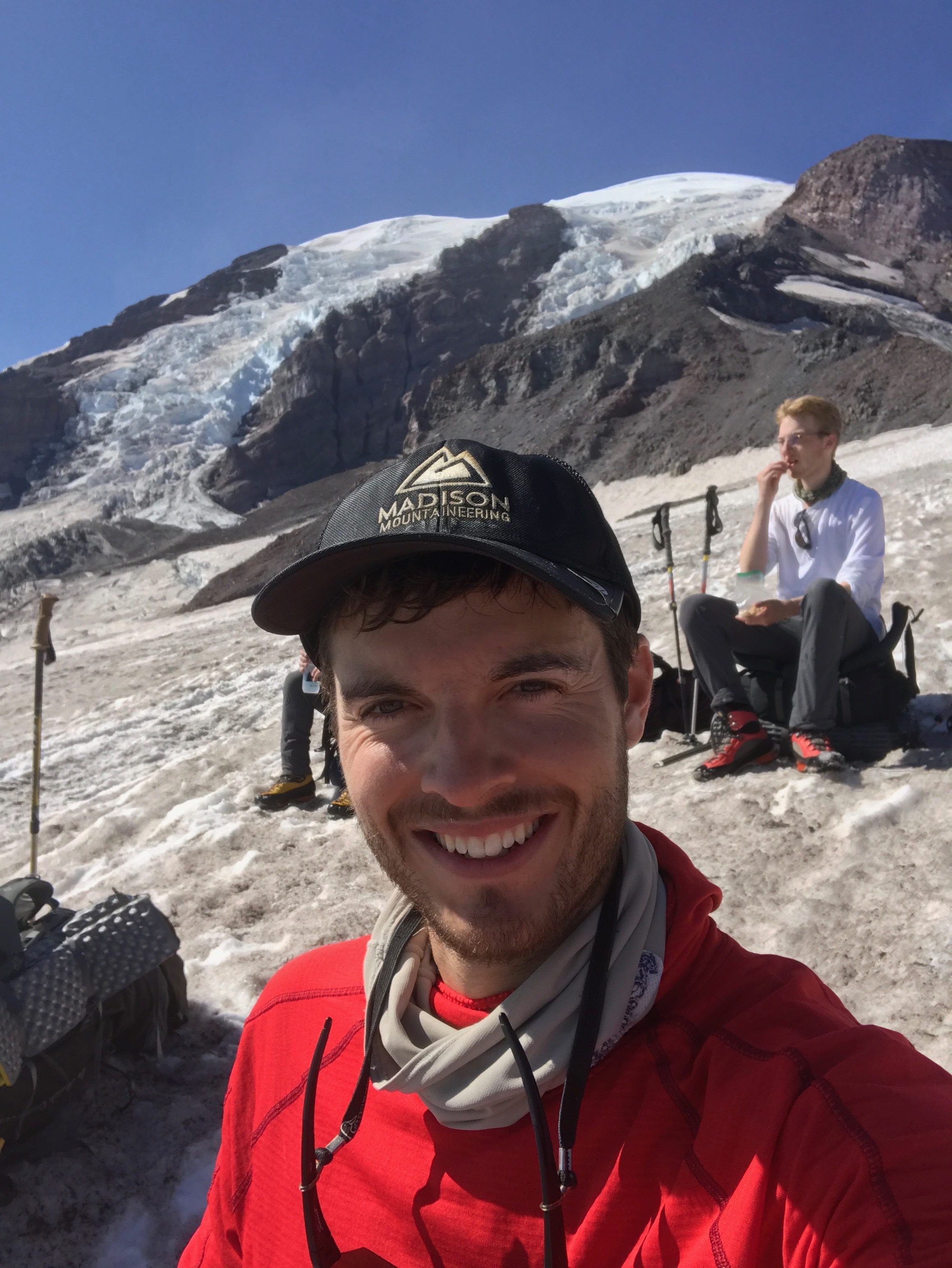
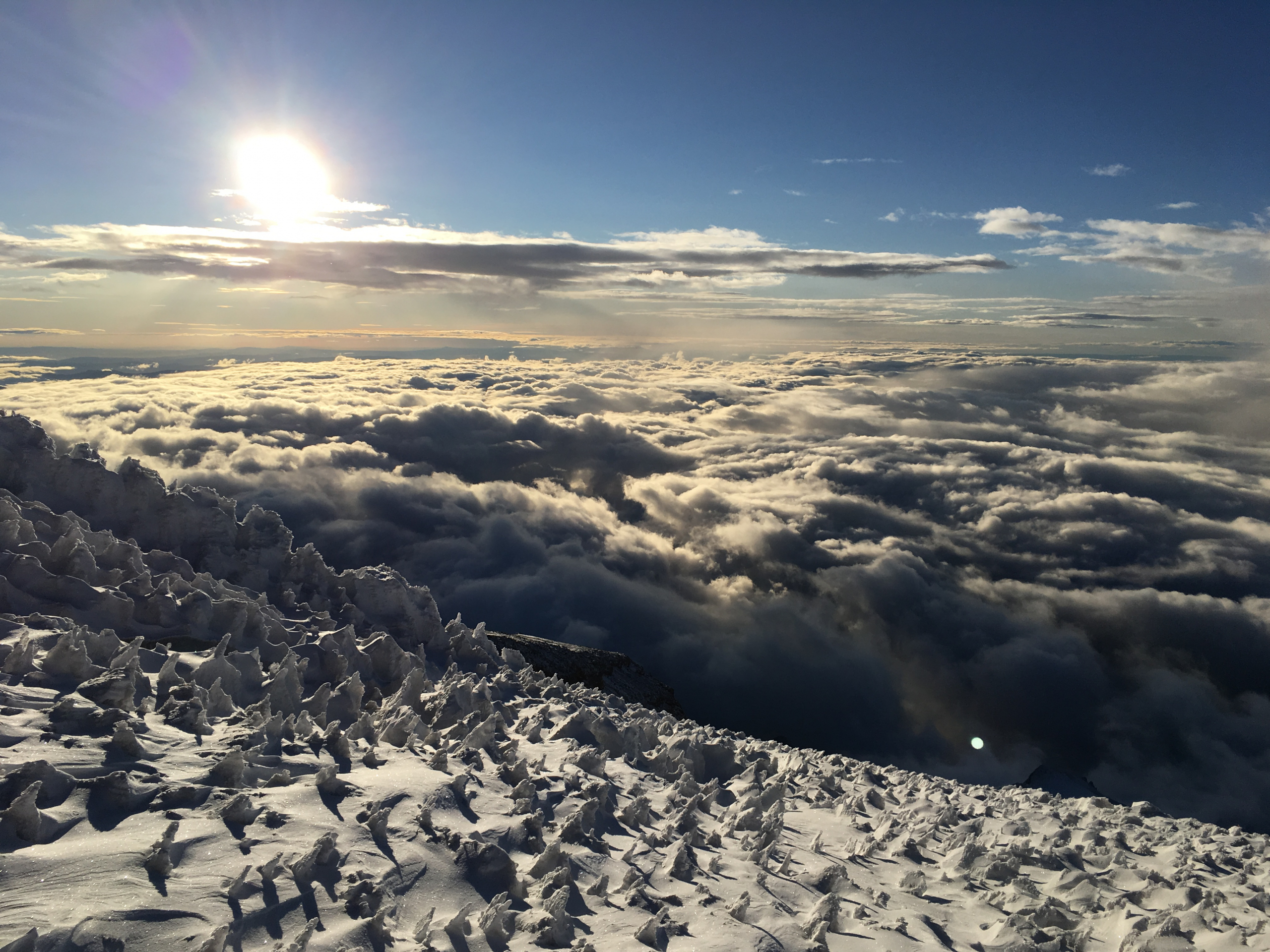
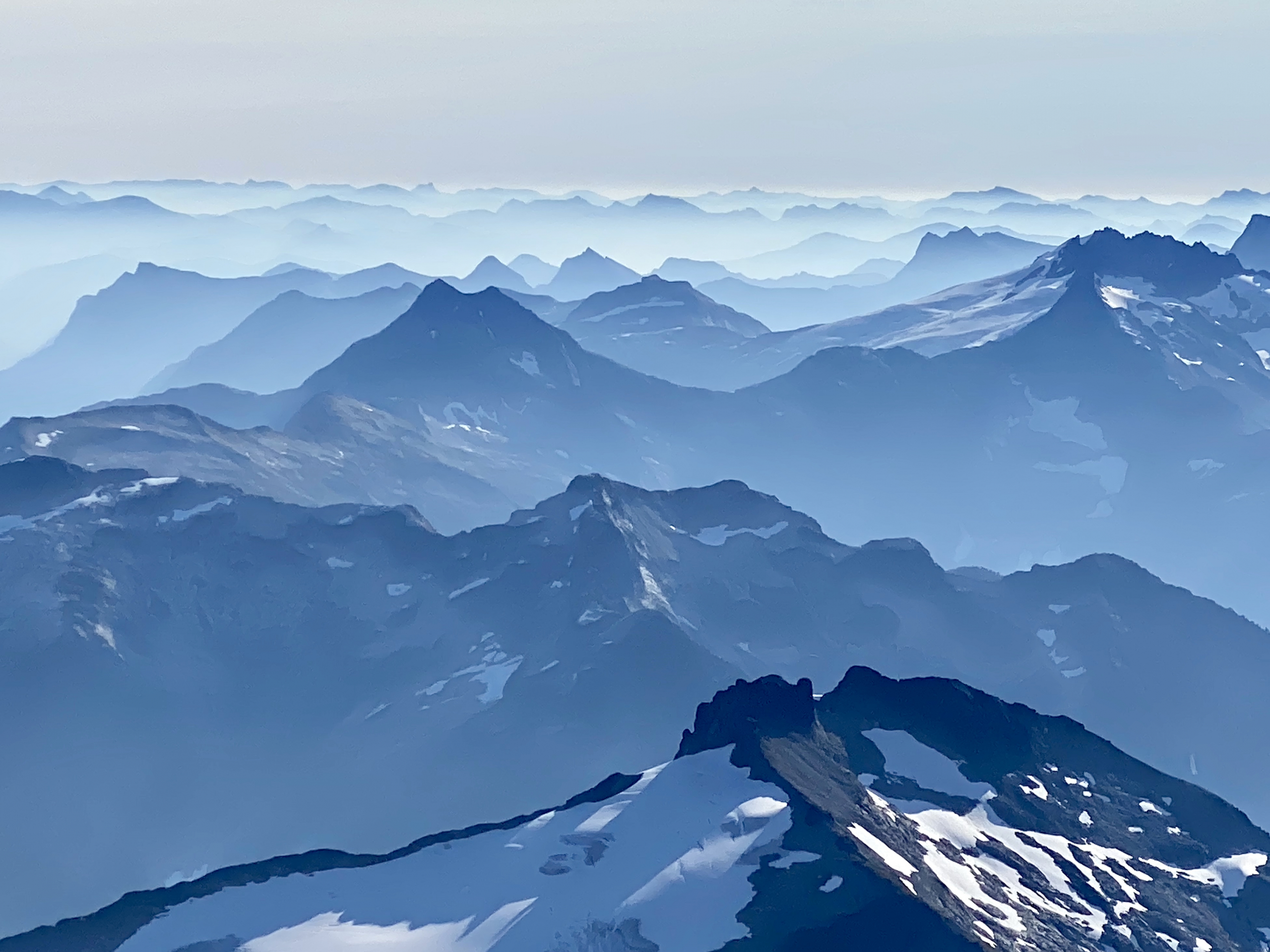
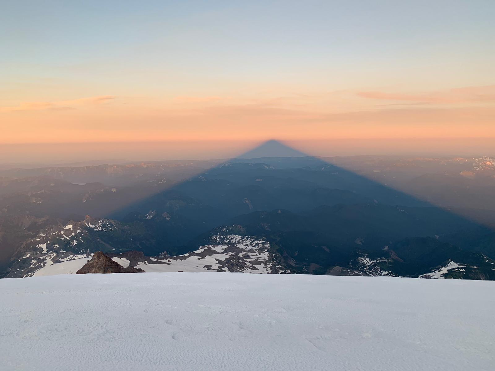
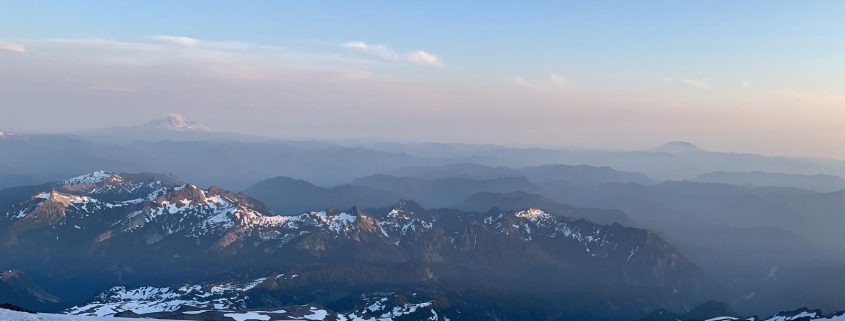
On many climbs, the most difficult choice is when to turn around. It was disappointing not to stand on the summit of Olympus on this climb, but that was the price we paid for a lesson in decision-making, and for the experience of climbing on this remote, beautiful peak in late-season conditions when the dramatic crevasses and seracs of the Blue Glacier are most visible. We also got to practice some teamwork and rope skills as we moved through the belays on the Snow Dome. All in all, it was a valuable trip to one of Washington’s most remote and beautiful peaks.
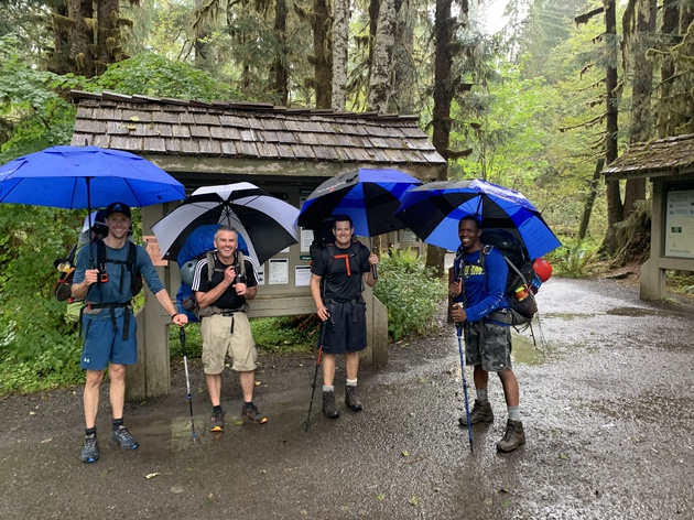
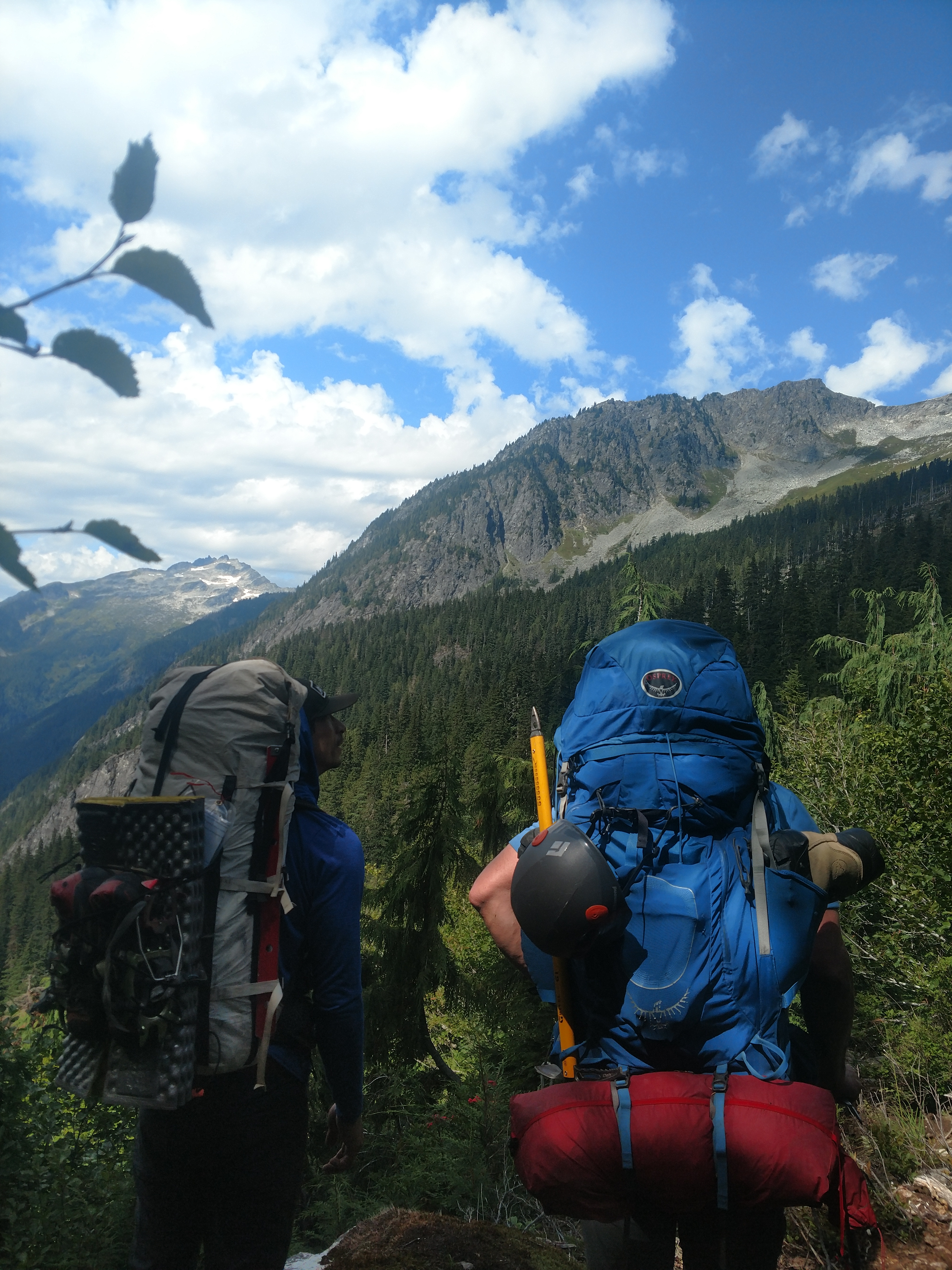
You don’t always see gear branded Maxfli (golf umbrella) on mountaineering trips!
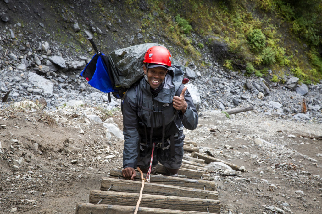
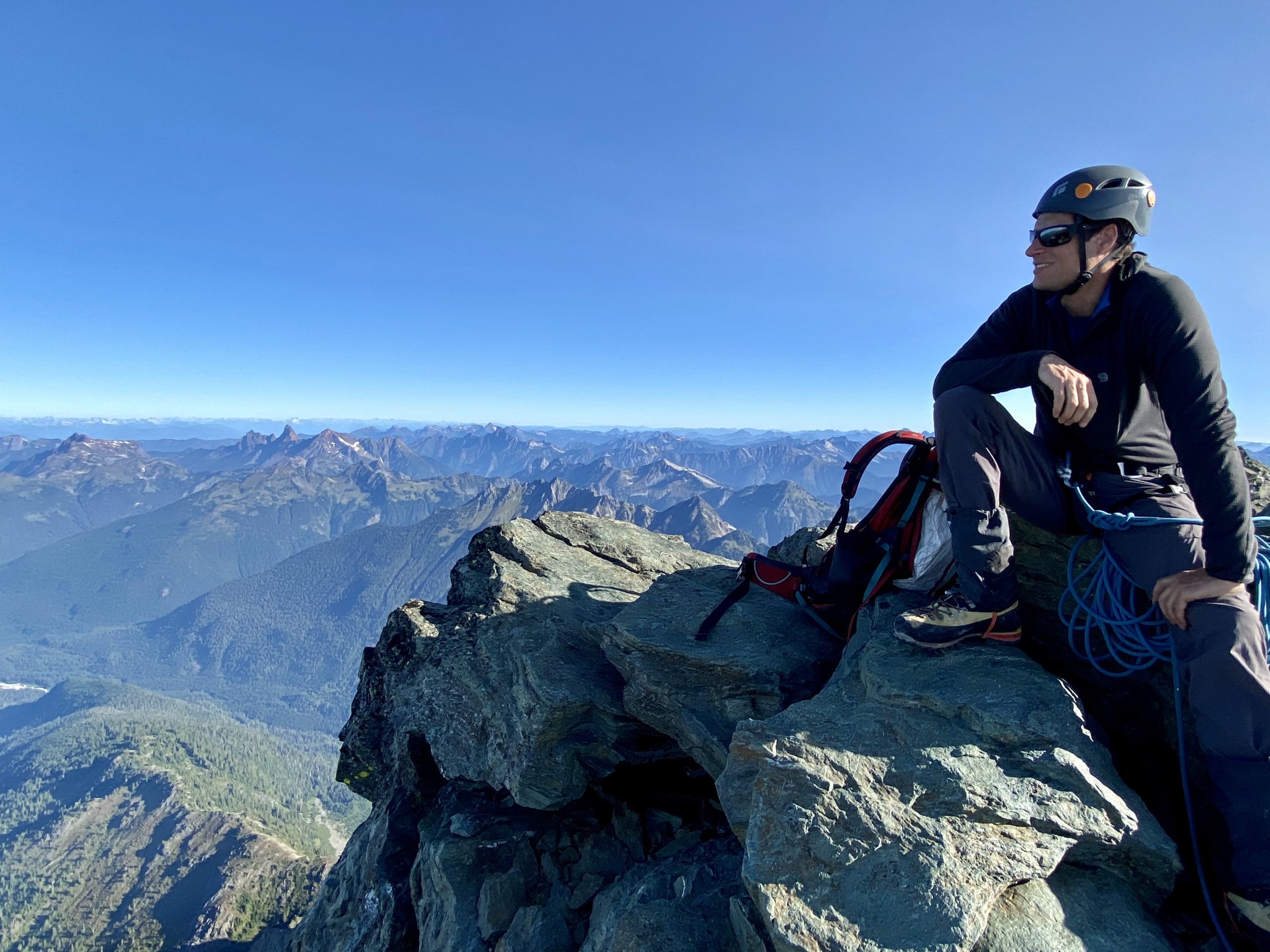
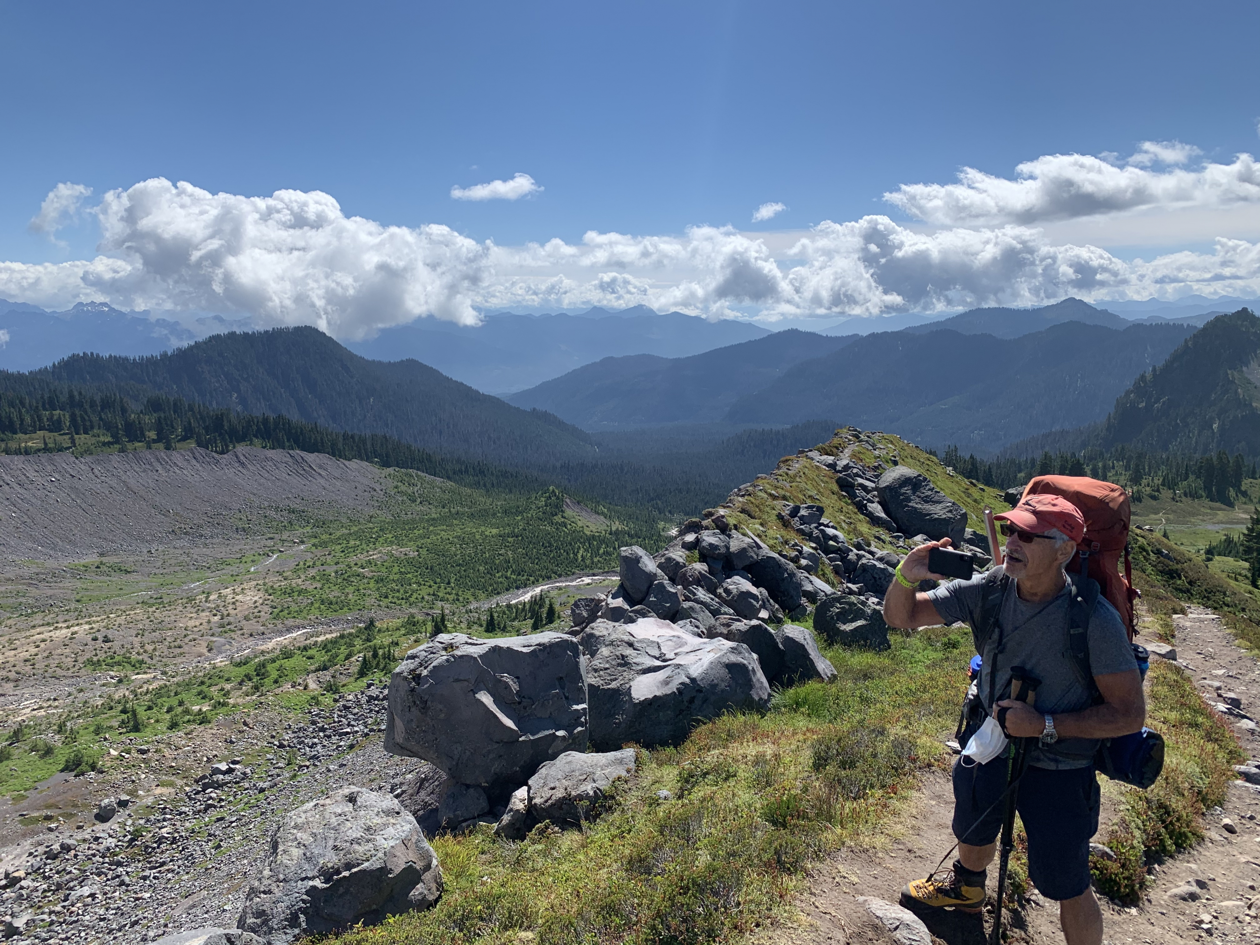
Sean hikes from the Hoh River to Glacier Meadows at the base of Mount Olympus in Olympic National Park
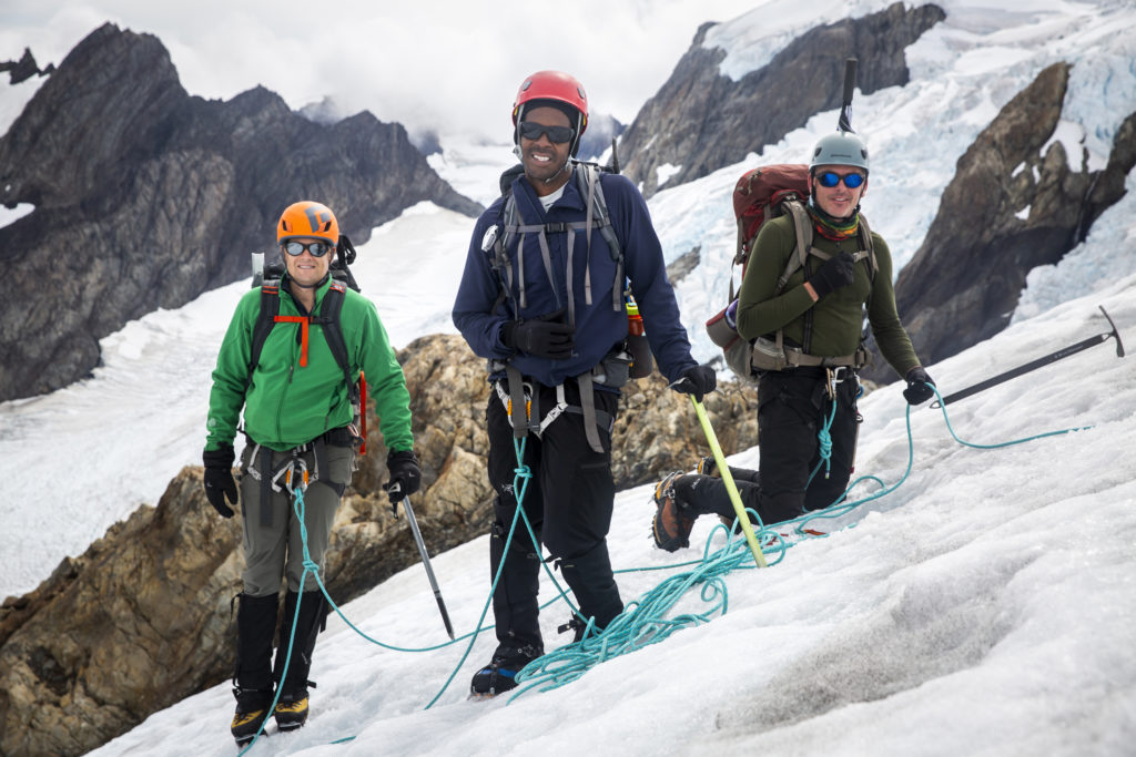
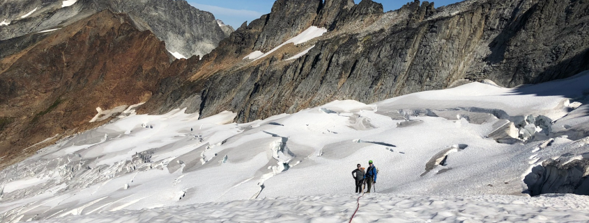
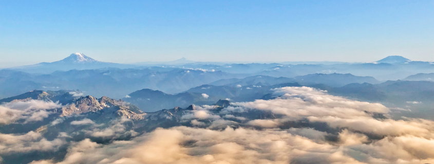
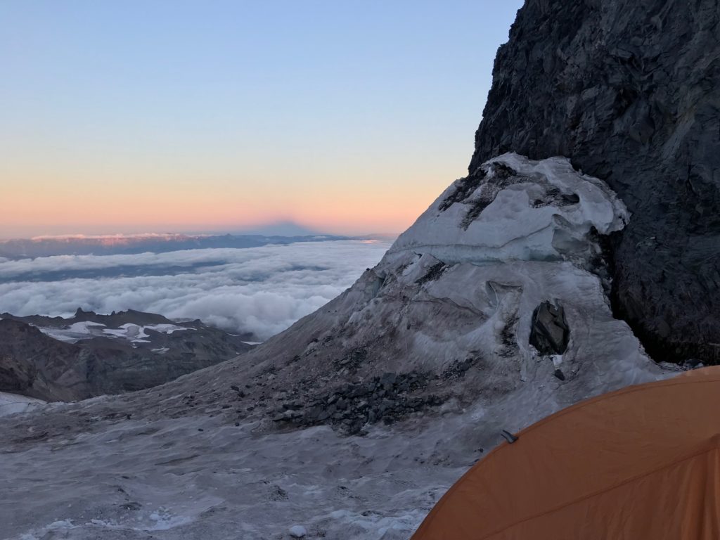
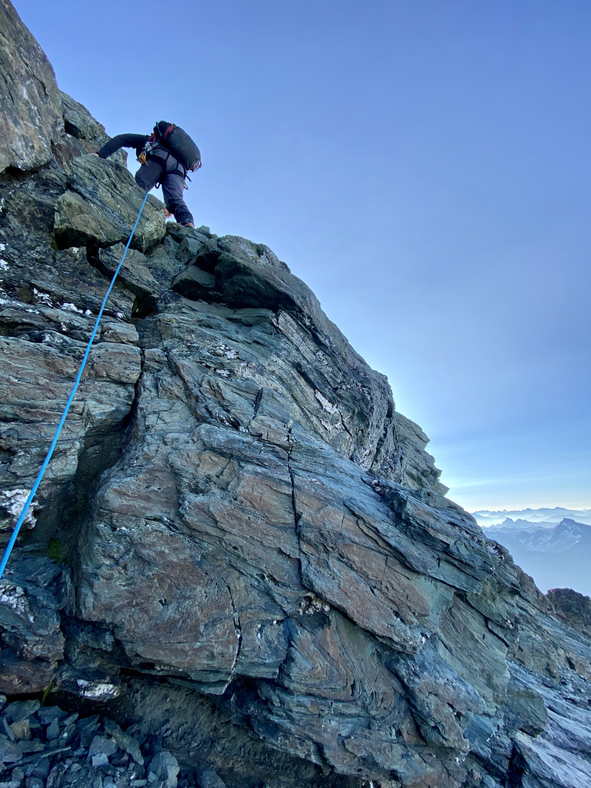
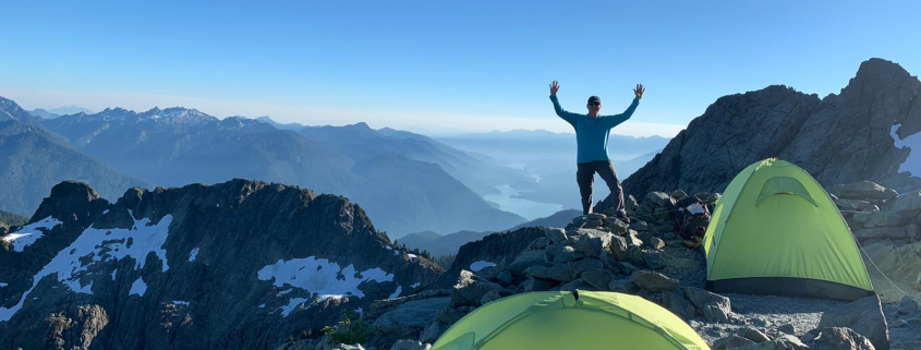
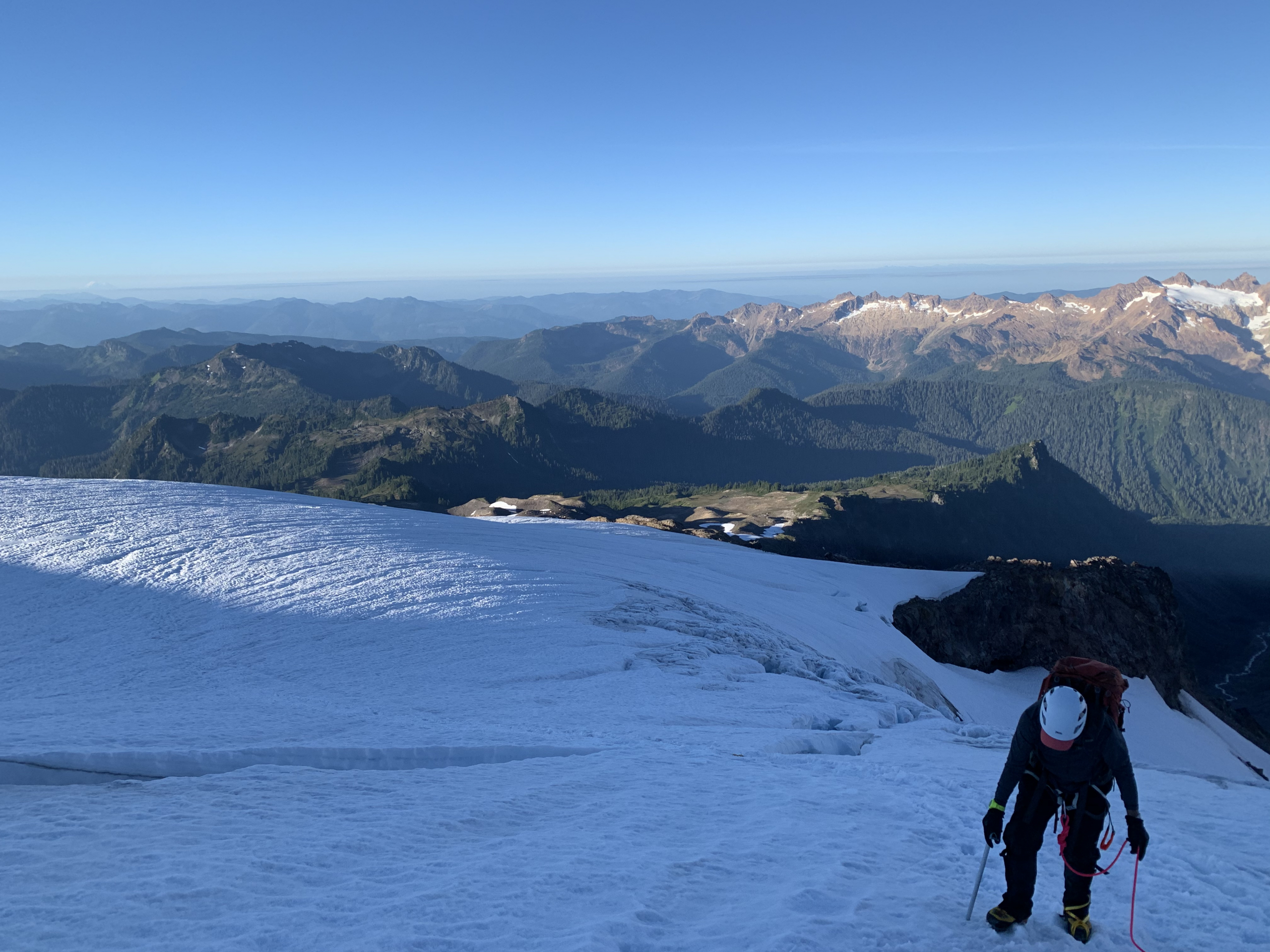
Climbing the Blue Glacier route on Mount Olympus in Olympic National Park

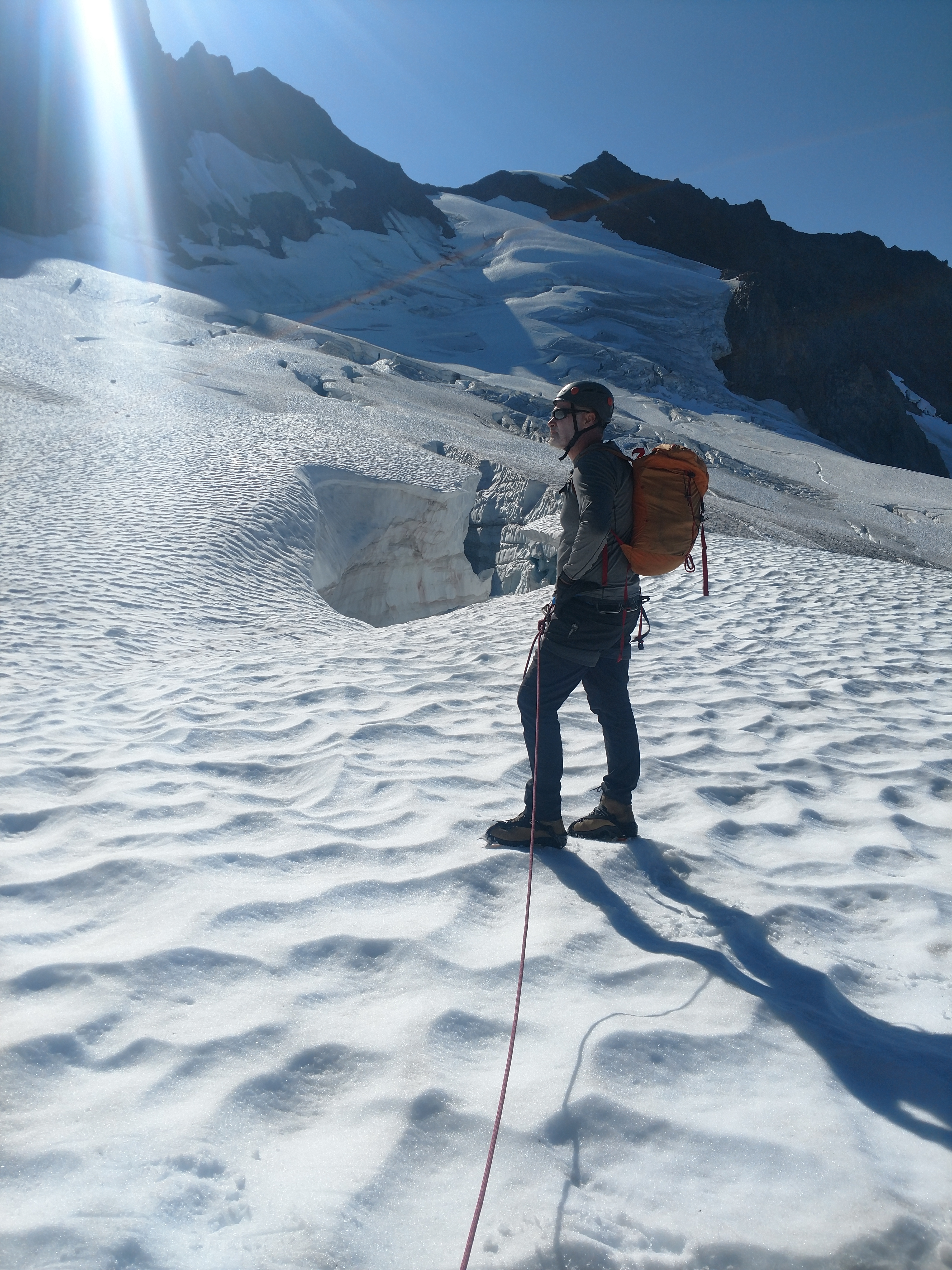
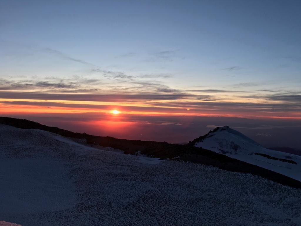
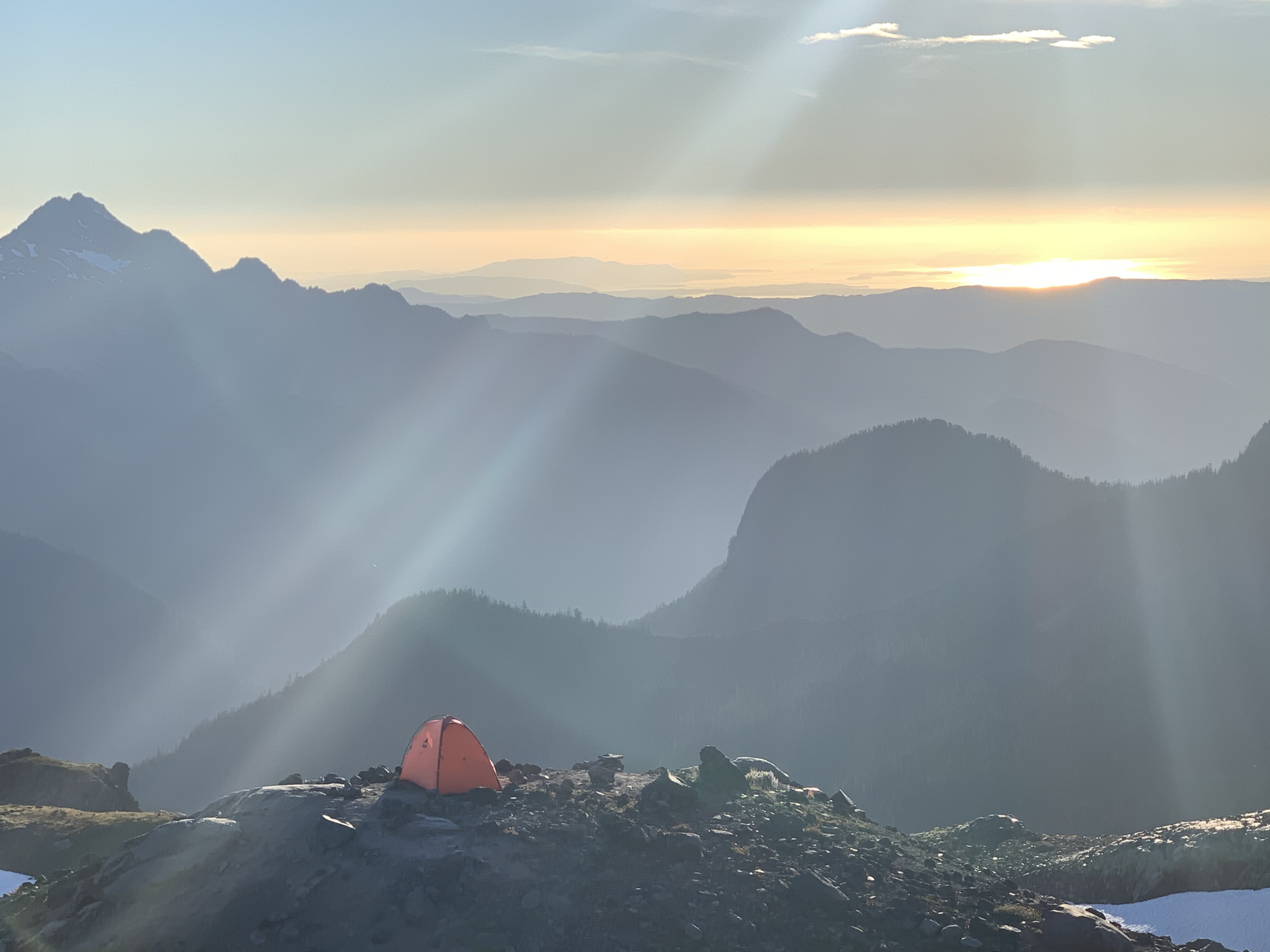
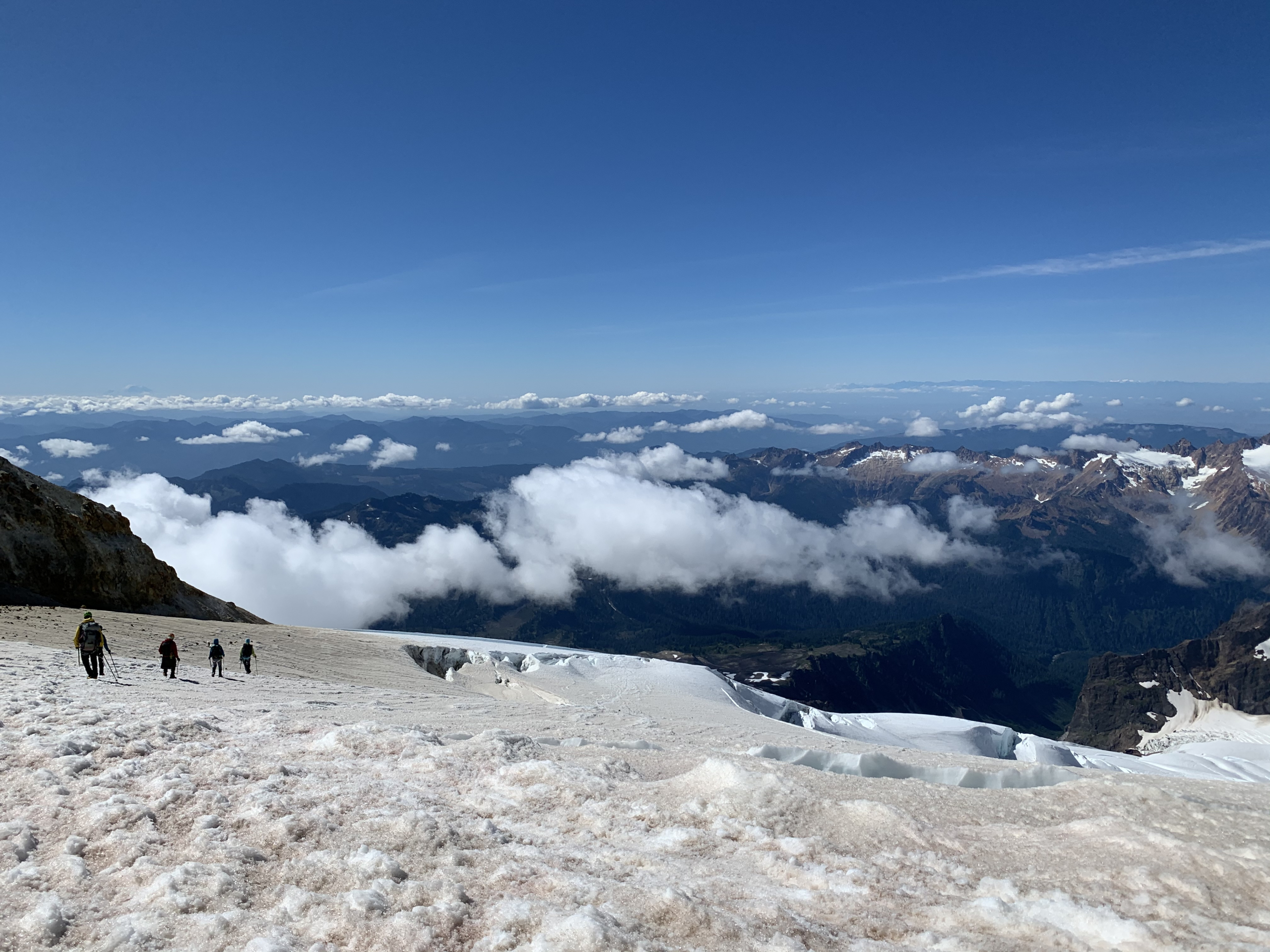
Climbing the Blue Glacier route on Mount Olympus in Olympic National Park

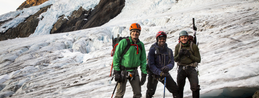
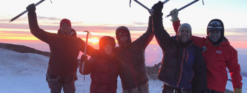
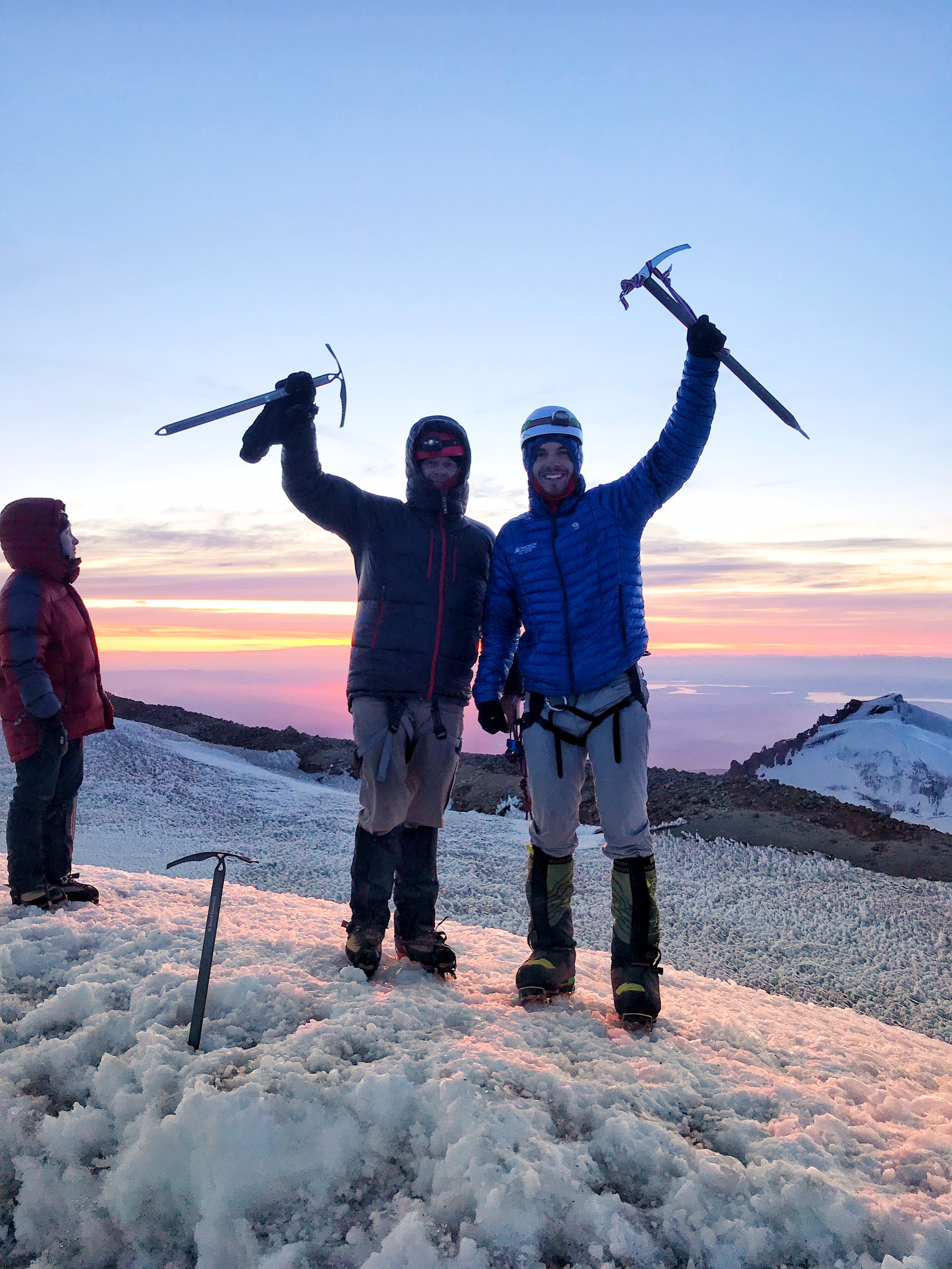
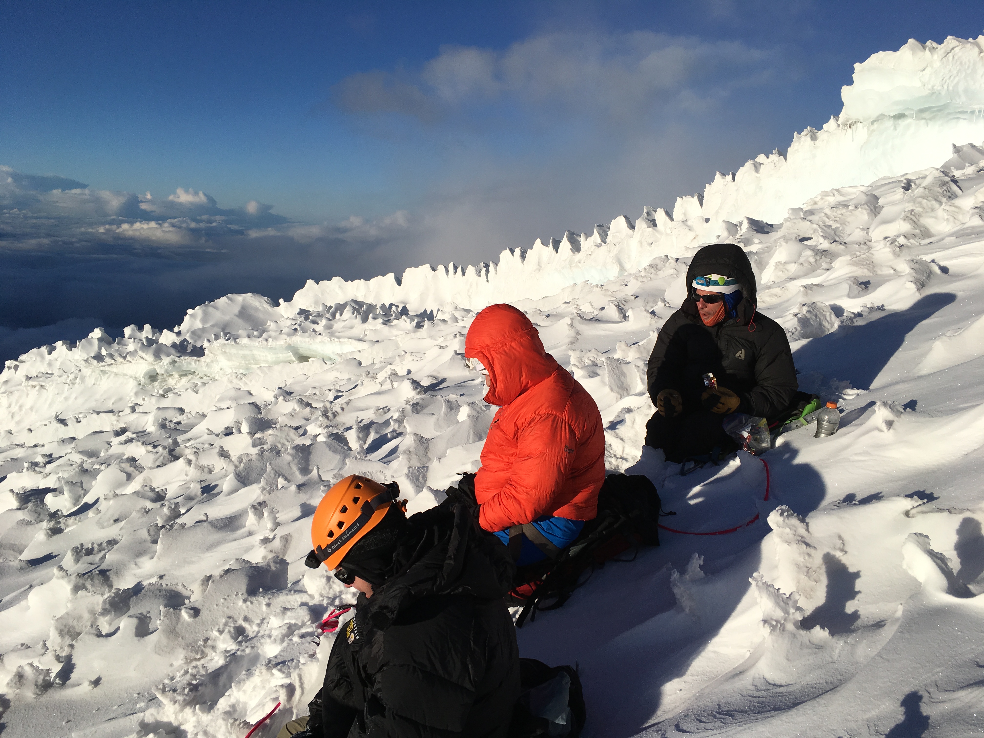
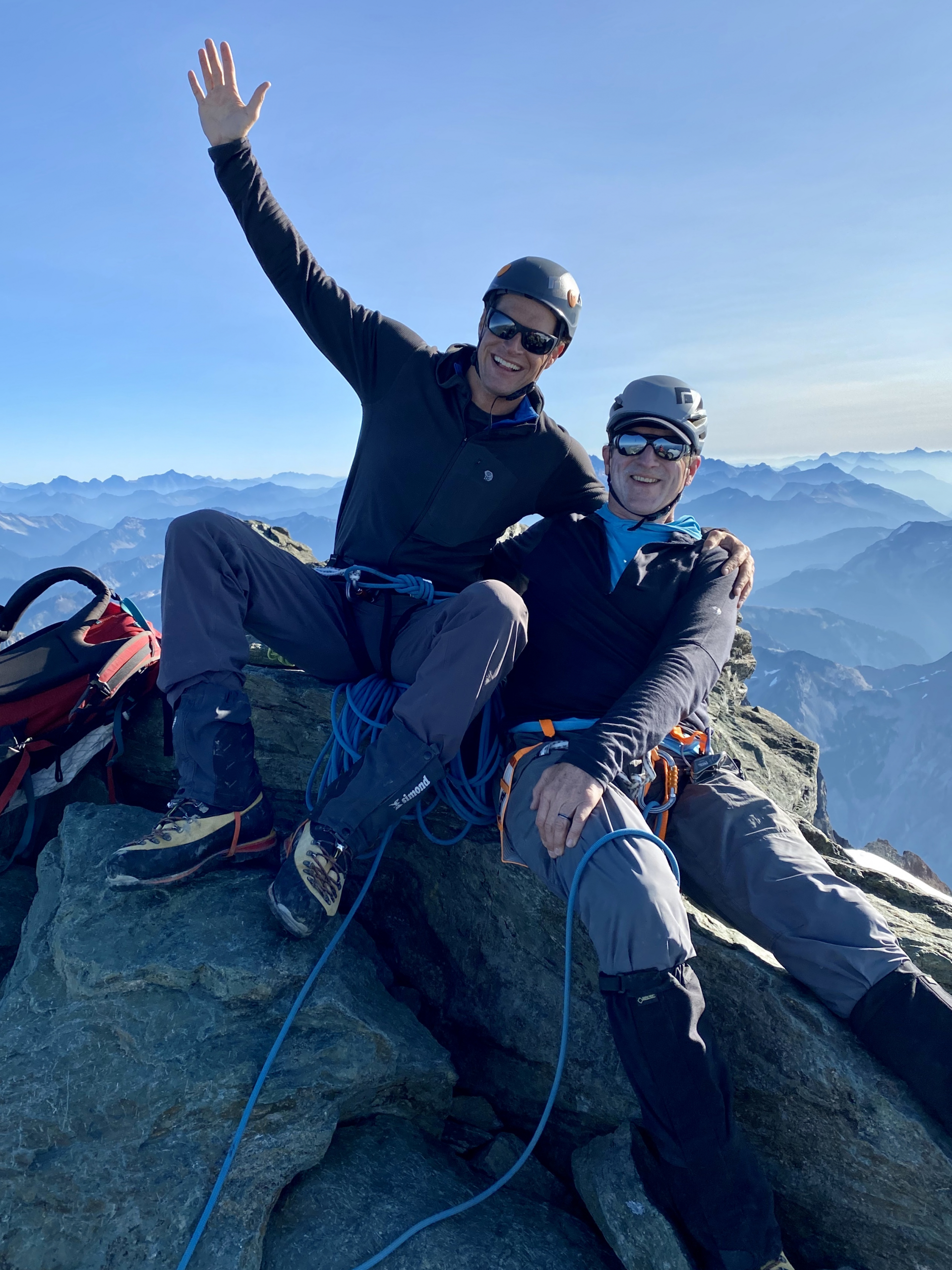
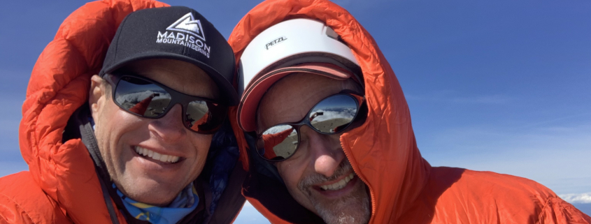
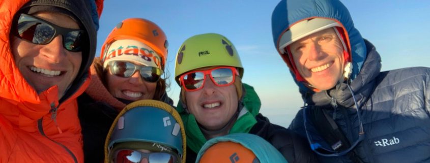
Team pose while climbing the Blue Glacier route on Mount Olympus in Olympic National Park


 2020 by Madison Mountaineering