Tag Archive for: Unclimbed Peak

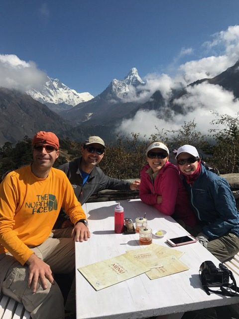
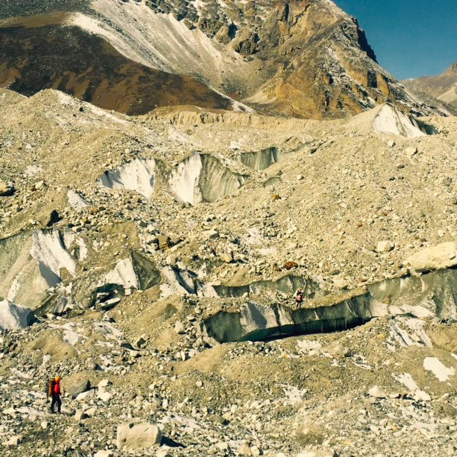
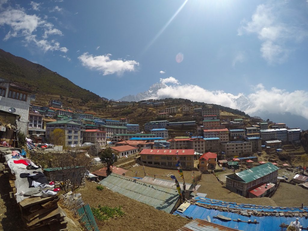
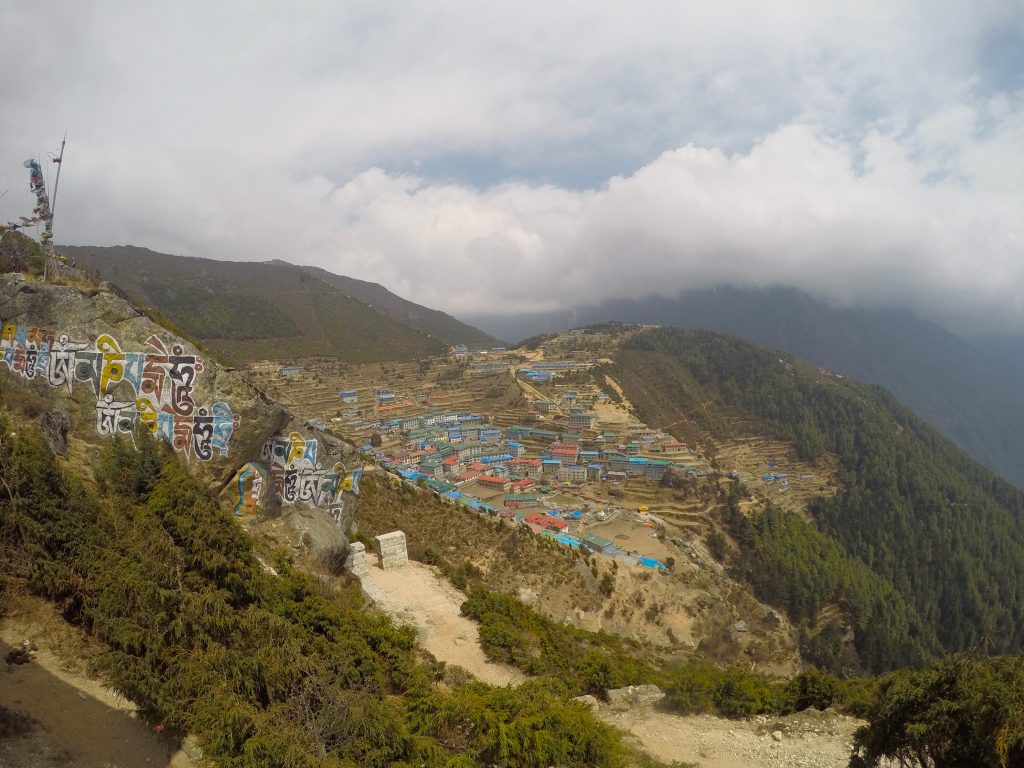
Namche Bazaar! Despite the flights, the time in Kathmandu and the preparation, for me it always takes until Namche to start feel like we are moving forward. Yesterday we trekked from Phakding to Namche under a low cloud ceiling keeping it nice and cool. Arriving around 2 in the afternoon we all had time to wander the narrow streets and relax at the beautiful Panorama Lodge. This morning we woke up, ate breakfast and took a nice acclimatization hike up to the Everest View hotel. There we took in stunning views of Mt. Everest, Lhotse and the crown jewel of the Himalaya, Ama Dablam, our objective after our unclimbed peak. Now back at the Panorama, we eat lunch, rest and prepare to head off towards Khumjung in the morning. The team is healthy, strong and psyched to get moving!

Sid Pattison

.

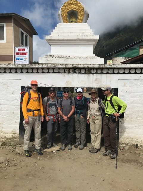
Namche is the main trading center and hub for the Khumbu region with many Nepalese officials, a police check, post and a bank

Namche

.


Namche

.

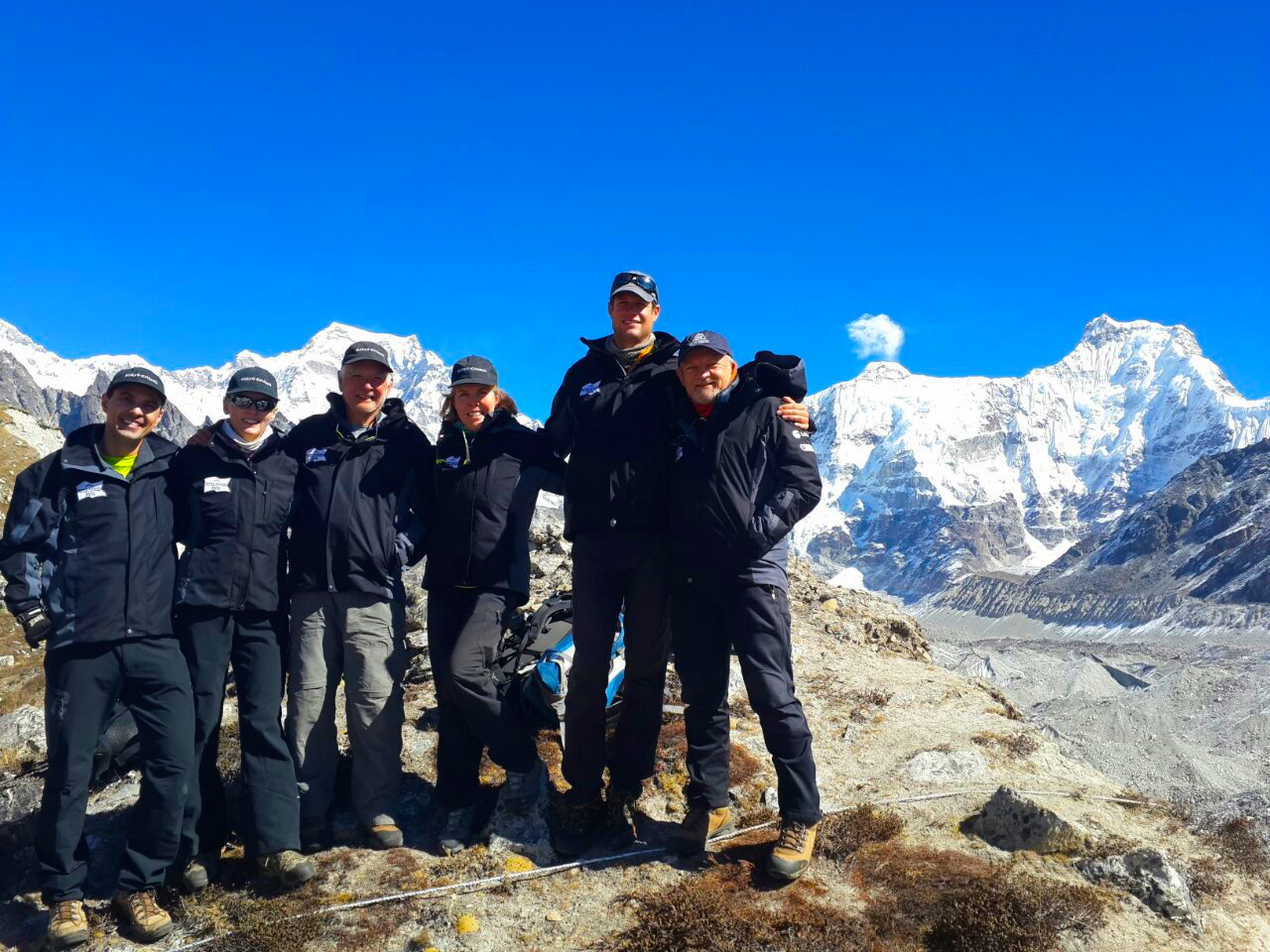
Team lunch with Ama Damblam in the background

Greetings from Lukla! We made it! After a couple of days of preparation in Kathmandu, today we boarded our Dornier aircraft and landed on Lukla. With most of our bags accounted for we are about to start off towards Phakding for the night. The crew is well rested, healthy and excited about finally being on our way to our unclimbed peak.

The Himalayan giants greeted us on arrival!

.

Lukla

.

.

Burke Khang Expedition Update – November 5th, 2015:

Our climbing team has made it to Burke Khang Advanced Base Camp! The team is currently sleeping at an elevation of 17,713 feet. Yesterday the team made another acclimatization hike with views of giants Cho Oyu, Everest, Lhotse, & Nuptse, we also spied more unclimbed peaks for next year! Check out our Facebook page for additional photos and beautiful panoramas!! Tomorrow the climbing team will head onward to our Camp 1 and up the very technical route of rock, snow, and ice towards the summit of Burke Khang!

For family and friends who want to watch the summit push check out this link, it will show you a basic map view of the climbing groups location as they push toward the summit. The data is refreshed every 10 minutes. My personal suggestion for watching this historic summit push would be to download Google Earth on your device. Once you have this software downloaded shoot me an email at: andrew@madisonmountaineering.com. I will send you an email with instructions on how to view the climbing team’s progress on Google Earth. We have been working hard to develop this technology and will hopefully have this available in a mobile application in the near future.

Team before rappel practice. Left to right: Paul and Denise Fejtek, Bill Burke,                                                          Kathy Meyers, Garrett Madison , Nick Logic

BK3

.

Rappel onto glacier practice:

BK5

.

View of our route to advanced base camp, towards Everest:

BK3

.

View from our hike yesterday, the Ngonzoma glacier:

BK5

.

Pics from our hike to advanced base camp:

BK3